Hey big idea but…
“This tag is used for a road/way/path/street/alley/motorway/etc. with an unknown classification” (osm wiki of road first sentence)
Excuse me, but what is the new thing about changing highway=road for highway=unknown ? Probably I have read wrong the proposal.
If it is only the word itself…Should we have to change highway=residential for highway=street ?
If you can afford one reason about the advantage rather than the meaning of a word in natural English language probably I would vote positive.
It is already available (although for me at least the display seems quite buggy at this point - I’m not sure if they have said somewhere if this is an “official” release or a preview of a work in progress): https://labs.strava.com/patchwork/
I sometimes map based just on Strava (locals in Chile encouraged the use of it - a lot of even very frequented hiking trails there are still unmapped ). However, usually only in areas where I have previously been - that usually allows me together with satellite imagery and also possibly looking at topo map to judge whether there is a path or not. For example ( -32.7555355, -70.0967133 ):
Red line – The path above it is definitely a highway, I would have no hesitation at mapping that. In that landscape, 4x4 track would be visible on a satellite.
Green line – Usually in the Andes, this also indicates a trail (a number of people walked it practically identically with little variation).
Yellow line – the trail around the green line peters out. That definitely should not be mapped.
I would not map those lines on the top right corner (though I think there is some interminent path; however it is not connected to the rest of path network – it would need to be a stub) on their own. Upon inspecting satellite, the path is actually cleraly visible, so it could be mapped.
I add source=strava when I map something like that. Highway=path + strava=source is an invitation for survey; just as highway=path without additional tags is.
Strava is a very useful tool, but it must be used sensibly.
… which is absolutely fine - it’s using a whole bunch of sources alongside Strava information. Where I’ve seen problems (a few years ago, in Derby /Notts in England) it was people adding every few dots from Strava as a path, when often it was inaccurate GPS traces under forest cover or people on a run jumping over fences.
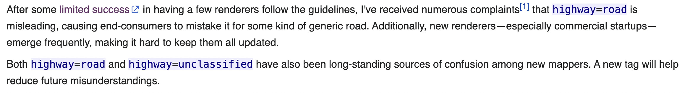
For what it’s worth, this explanation puts a lot of the blame on the word “road”, but the confusion is not intrinsic to this word. The reason for the confusion is that highway=road was redefined in 2016 (also in the main map features table). By then, data consumers like OSM Carto and Mapbox had already been interpreting it for years according to the approved definition that only encompassed what (English-speaking) laypeople consider to be roads, not primitive paths. (The proposal is literally titled “Generic road”.)
I don’t know if this change was accompanied by any discussion or outreach to software developers. But even if this was a stealth edit, enough time has passed that the new definition has apparently gained some traction.
Should I report armchair or beginner mappers to the DWG just because they might add inconsistent data? Like a road with a locked gate in the middle that isn’t visible on imagery, or, as you said, a field with a fence cutting through it?
Of course not! The real solution is to welcome valuable, even if imperfect, data and motivate mappers to improve map quality over time. If you find a path segment that doesn’t exist, tag it as not:highway and add the missing fence.
You can’t stop people from adding data to OSM without giving them an alternative (see here). That’s why the DWG ends up handling complaints about dangerous mountaineering/climbing routes being added to OSM.
In my area, 99% of the Strava data I’ve added and surveyed is legit, and it’s been praised by hiking and MTB communities. It’s even brought in new mappers to fine-tune details like upgrading classifications, adding surface types, widths, and access tags. (By the way, I made the Chrome extension that lets people trace from Strava, and I even presented it at State of the Map Asia 2023, where it got lots of interest and support!)
Until there’s a better tagging alternative, mappers will keep adding Strava traces as highway=path and the solution is not to discourage or report them, but again offer them an alternative.
I’m not surprised; this is a classic OSM scenario—lots of energy goes into proposing and voting on new tags, but things often drift and end up causing more issues, leading to ideas that likely wouldn’t pass a vote in the end.
Maybe highway=road wasn’t intended for pathways after all. That’s probably why it was named that way, and it’s how most users, including Mapbox, have interpreted it.
So, what should we do for pathways? Some folks have suggested that highway=path without any other tags should be rendered differently, but I’d prefer to see an alternative tag altogether.
I think there are already enough threads about that.
I brought up the old approved highway=road proposal partly because highway=unknown, highway=unknown_road, and highway=yes all came up in the discussion leading up to the vote. Some people strongly preferred unknown over road even back then. You might find some built-in support for your proposal therefore.
@Steve_Hill chose highway=road with the explicit intention of excluding footways and such from the possible interpretations of this tag. (He created OpenPisteMap, so it’s not as if he didn’t care about the world beyond roads.) To me, the lesson is that, if you propose a new tag and it gets approved, your job doesn’t end there. To ensure the tag’s success, you need to defend it against encroachment and scope creep, possibly for many years to come, and persistently push software developers to align with your vision. Even that may not be enough.
An alternative tag to represent what situation specifically?
highway=road generally means something like “there is some form of road here but it isn’t clear how it should be classified, I am using road as a placeholder until it can be replaced by highway=something_else”.
But for paths, a highway=path is very likely to remain highway=path forever, as a survey is likely to result in additional tags rather than a reclassification. So I don’t think you are looking for something directly analogous.
Ok, I guess I assumed that if something is mapped as highway=path, the mapper has reasonable grounds to believe it is a path-like way in current use.
What is the incentive to enhance something that is not used for rendering or routing? As I understand it you are looking for a kind of “for editors only” object, detectable by map editors but not other map users?
The same incentive as ‘highway=road’. They are rendered by a few renderers, not only editors.
When you add a road based on imagery or GPS alone, there is often no way to know without local knowledge the classification. Maybe what you thought was an agricultural track is actually a path. You add those as highway=road so that someone knowledgeable can retag them.
And again, the reasons to propose the renaming of highway=road to highway=unknown are:
to include pathways in scope of tag
to ensure renderers display them in a distinct style (which is not the case)
If renderers misunderstand highway=road then they’re also going to misunderstand highway=unknown. The way forward to resolve the issue is to:
Encourage people not to add more and to use some other mechanism to share “this might be some sort of road, or some sort of path, or neither”
Fix (via survey if necessary) the ones that already exist.
“some other mechanism” could be lots of things - it could even be a drawn line in OSM (as long as it doesn’t have a highway tag on it that will mislead people).
As an example somewhat near me, this area of moorland apparently has lots of paths across it based on the local authority’s rights-of-way data. Some are visible from imagery, some aren’t. It doesn’t benefit anyone to speculatively add the ones that aren’t visible since a definitive answer to what is there in 2024 will only come after actually going there. If anyone wants to see where a path might be, then there are lots of places they could look - OSM should only contain things that definitely exist.
Edit to also add:
Indeed, but “offer them an alternative” doesn’t have to mean adding speculative data to OSM.
The Proposal section seems to propose a like for like swap (i.e. simply a name change) while the Rationale talks about extending the coverage of the tag.
Also I didn’t understand this:
“The generic nature of highway=road may also contribute to its underuse as a valuable feature.”
If the current tag is too generic, how will extending it to be even more generic help?
Originally it was just a swap, because the wiki says that that highway=road already covers pathways, but apparently this wiki change may be controversial.
I meant confusing, updated the proposal accordingly.