While doing boundary editing, I discovered new religious administration boundaries have shown up in the US:
Is there a community consensus for mapping these? This could get unwieldy very fast if multiple religious boundaries get added to the map.
While doing boundary editing, I discovered new religious administration boundaries have shown up in the US:
Is there a community consensus for mapping these? This could get unwieldy very fast if multiple religious boundaries get added to the map.
This has always felt to me like something that should be mapped on individual features, rather than as boundaries, at least in the US.
As far as I know, the only religious boundaries that currently have consensus to map are eruvim, because those have a physical, on-the-ground presence.
even if single religious org got its border systematically added it can result in this
see Poland for example
Can you elaborate?
This feels very out of scope to me.
Poland has large volume of religious administration boundaries mapped there
In countries where government is organized or heavily based on a state religious authority I could see good reason to map religious boundaries. In such cases they are de facto ‘administrative’ boundaries anyway.
In somewhat secular countries like the US it’s… not quite so clear. How to source and verify these boundaries can become very difficult…
For this example (Catholic diocesan boundaries), I don’t think these are necessary in the US, as the vast majority of diocesan boundaries are based on county lines. This would only be useful in edge cases like the Diocese of Lincoln (Roman Catholic Diocese of Lincoln - Wikipedia) where the north boundary is the South Platte/Platte River and at least one city (North Platte) has parishes in two dioceses (so the de facto diocesan boundary would follow property lines depending on which parish you go to IMO).
As a Catholic, these don’t need to be mapped. If someone wants to use OSM data to determine these boundaries they can just use the existing county borders/other pre-existing features.
I can’t speak for Protestants/Orthodox or non-Christian religions, but I would assume that their religious administration is based on political boundaries as well (and thus, already covered by existing admin boundaries).
Thanks all
Based on this discussion, I’ve removed the 11 religious administration boundaries that were added in the United States. All of them were in New England.
Changeset: Changeset: 167633853 | OpenStreetMap
Most Episcopal dioceses are also based on state or county lines, with the notable exception of the Missionary Diocese of Navajoland and its neighbors.
I think there would be reasons besides conformance to civil boundaries to avoid explicitly mapping religious boundaries in OSM. After all, most Catholic parish boundaries probably follow property lines, but this would be a massive expansion in scope for boundary mapping without a clear verifiable source in many cases. (School districts and legislative districts have similar challenges.)
Hello everyone, I was the one responsible for the majority of this. I know this is discussion is old now but I do still want to give my opinion. The reason I added these in the first place is because I wanted to see the boundary of one, checked OSM after not being able to find any good visual maps, and found that it wasn’t already there, so I added it (yes I’m in New England). I feel like they should be added if just for a way to easily reference them like I originally wanted to, or maybe for someone less knowledgeable about geography wanting to see what diocese or other region their house is in without having to find some random website to tell them or “do their own research”. It is certainly not without precedent (look at some European countries) and I think it is non intrusive enough to warrant being added, especially because they aren’t rendered on the map and can only be searched for. Anyways, I hope to hear some more opinions even though this is old now. Thanks
I am definitely against religious administration boundaries in OSM, on the grounds of them not being verifiable on the ground.
I say this often but here I go again: In OSM, we generally only map what is verifiable on the ground. We make some exceptions from this rule, for things that we find exceptionally important. Administrative boundaries are one such important feature, because the daily life of almost everyone is affected by them and also because they can aid us in mapping.
The fact that we are making an exception for administrative boundaries does not mean it’s now a free-for-all to map any non-observable boundaries you like, from religious boundaries to delivery zones of the local pizza service.
It is true that quite a few such boundaries have been mapped across the world, but – and this is also something I say often – the fact that unwanted data has been added in one place does not mean we should add more unwanted data in another place; instead, the unwanted data should be removed again.
(n-dashes entirely my own!)
boundary=religious_administration occurs mostly in Poland. Do diocesan boundaries there conform to civil boundaries? If not, that might have been a big reason why those were mapped there. Even so, the Catholic Church has dioceses in very many countries, but the absence of them in OSM from most countries speaks to the community’s reluctance to maintain data about them directly in the database.
May I ask about your particular use case for constructing these diocesan boundaries directly in the OSM database, as opposed to a mashup or query based on OSM? For what it’s worth, it’s possible to join OSM geometries to Wikidata, which has extensive coverage of dioceses. The big caveat is that, on Wikidata, only a couple of items about Roman Catholic dioceses in the U.S. currently indicate which counties or states are served by a given diocese – namely, the two that I’ve tagged. ![]()
Kind of underwhelming, I know. Wikidata has much better coverage of this sort of thing in some other countries. It’s just a matter of adding operating area (P2541) or coextensive with (P3403) statements to each item. If you have an external dataset of machine-readable information, we can automate this process.
For what it’s worth, OpenHistoricalMap has started to directly map the boundary evolution of Catholic and Jewish ecclesiastical boundaries in some countries, including diocesan and parish boundaries, so your contributions would fit in quite well there. Diocesan boundaries in the U.S. be especially interesting on a time-sensitive map, since they weren’t always based on county lines. More importantly, OHM doesn’t generally expect features to be directly observable, so this wouldn’t be “exceptional”. It wouldn’t be unusual at all for you to map a boundary based on consulting some external reference.
(That said, OHM would probably refrain from mapping pizza delivery service areas, but only until someone happens to care about a particular pizza parlor’s history to that extent. It would be a good problem to have. ![]() )
)
Three now: Roman Catholic Diocese of Rapid City - Wikidata
Not sure how you’d split up the Nebraska counties but that’s on the pioneers for not using the Platte River as a county line out west in the first place.
I think this is a decent place to draw the line. It feels unfortunate to tell someone in need of religious boundaries that they’re on their own. After all, OSM’s data model is very capable of expressing boundaries that aren’t a sum of whole administrative areas. From a certain perspective, diocesan boundaries are administrative boundaries, just coming from a different authority. But the difference is that OSM’s coverage of boundaries is aimed at a general audience. Print and digital maps aimed at a general audience conventionally display civil administrative boundaries, time zone boundaries, and even tourism region boundaries,[1] but religious boundary maps occupy a much more obscure niche.
Another challenge for us, especially in the U.S., would be that no one has nearly a monopoly on religious hierarchy in this country. Each Catholic order, such as the Jesuits, has its own provinces parallel to the dioceses. Beyond the Catholic Church, various breakaway groups, Protestant and Orthodox churches, etc. maintain analogous structures. Conversely, the Episcopal Church recognizes dioceses in other countries, overlapping those countries’ home churches. It feels very much like the situation we’re trying to avoid with special districts at the local level (water, library, and so on), which we generally don’t map either.
In Wikidata, you’d set has boundary (P4777) to Platte River (Q655754), qualified by a direction (P560) of east (Q684), then also qualify each of the operating area (P2541) values with a nature of statement (P5102) of partially (Q100349848). For this or anything more complex, you could also upload a GeoJSON file of the boundary to Wikimedia Commons as map data, then set the item’s geoshape (P3896) to that file. Among other things, Wikipedia would be able to display an interactive map of the boundary almost automatically based on that statement.
Maine Attractions & Service Map (2024), Maine Tourism Association, available from tourist information stands across the state line in Massachusetts. ↩︎
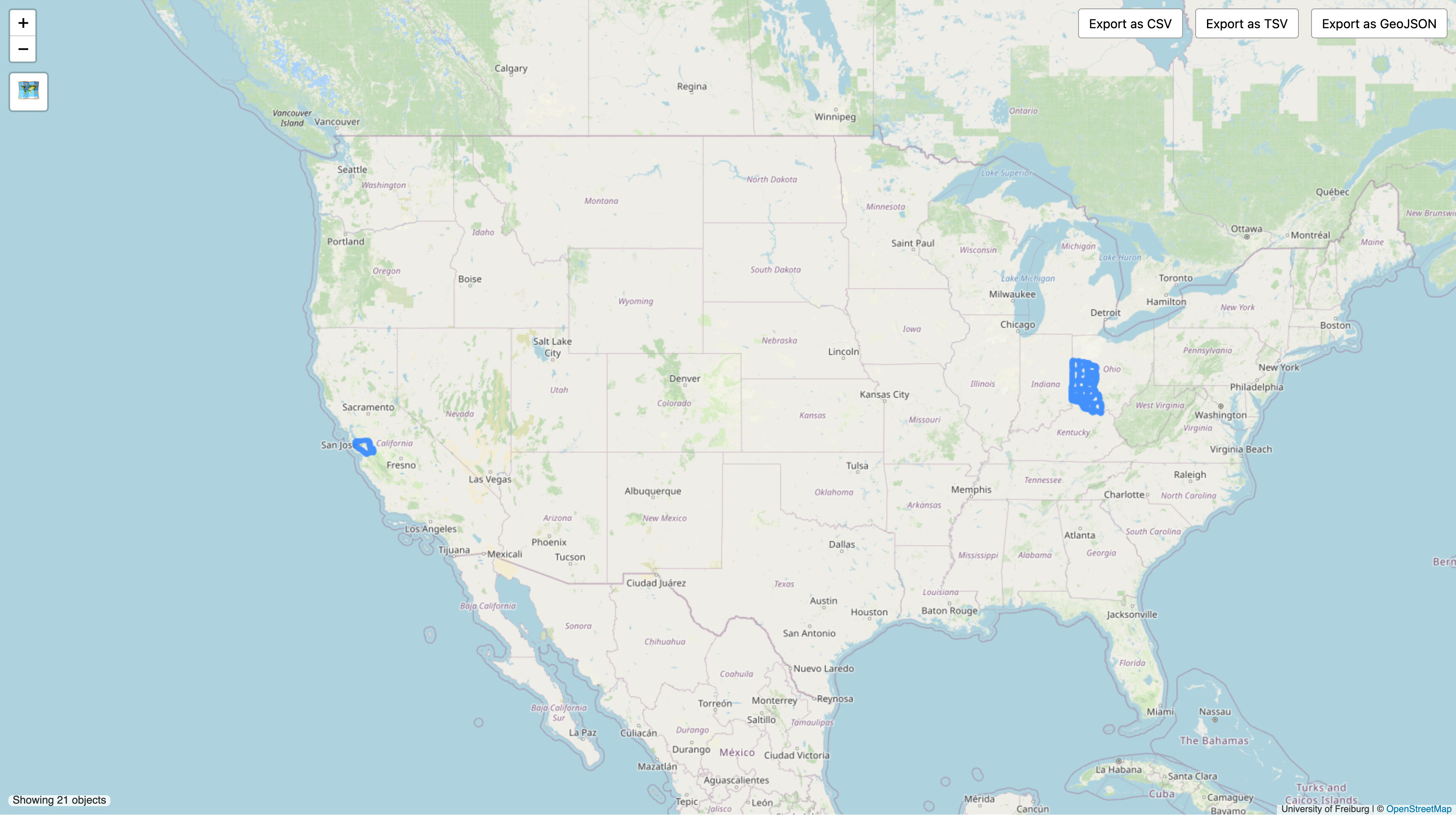
I ended up mapping the Archdiocese of Cincinnati in OpenHistoricalMap. Here’s a detailed writeup, including tips for conducting the research to extend diocesan boundaries back in time and for modeling them in the database:
@Tyler806, thanks for the nudge to get around to mapping ecclesiastical boundaries. While it wouldn’t be exactly what you had in mind originally, I hope you’ll consider getting involved in OHM and sharing this kind of knowledge with others from there.
At the same time, I hope the rollback of your contributions doesn’t discourage you from contributing other things to OSM that are more clearly within this project’s scope. In the parts of the country where I map, there are still plenty of missing or outdated churches and parochial schools – maybe in New England too. Lots of opportunities to do something tangibly useful for the people you might’ve had in mind with your contributions.