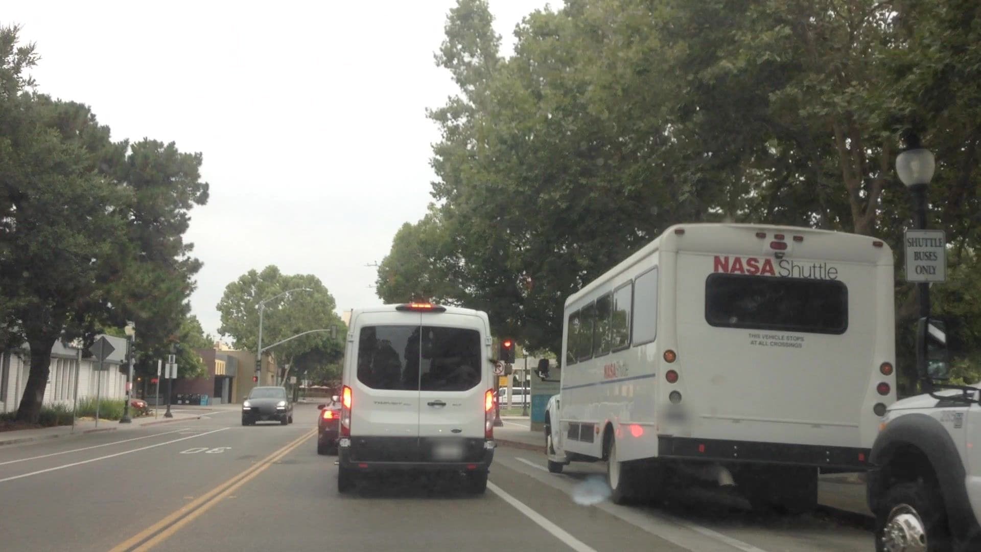
A few days ago, I made a set of MapRoulette challenges to check and retag minor service roads along bus routes. Some questions were raised about the challenges, so I’ve paused them to gauge community sentiment around the changes.
Background
A new OSM route relation editor, Relatify, was released earlier this month. While trying it out, I noticed that it wouldn’t allow me to add minor service roads (service=driveway, service=parking_aisle, etc.) to route=bus relations. I mentioned this to the developers of Relatify, at which time there were about 7,000 ways tagged as minor service roads along bus routes in the United States. @ToniE confirmed that PTNA, a quality analysis tool for public transit routes, behaves the same way.
The Relatify developers responded that most of these ways are likely tagging mistakes, and that for the small percentage that are correct, adding psv=yes|designated or bus=yes|designated will allow Relatify to recognize them. I inspected a small sample of the affected ways, and I agreed with this assessment. We figured that MapRoulette would be the best tool to fix this issue, as each affected way will need individual attention to determine whether it should change classification, or just have bus=* added. When I announced the creation of relevant MapRoulette challenges on the OSM-US Slack, the response was generally positive and prompted some mapping activity, but I may have jumped the gun on publishing them without enough community buy-in.
The MapRoulette challenges
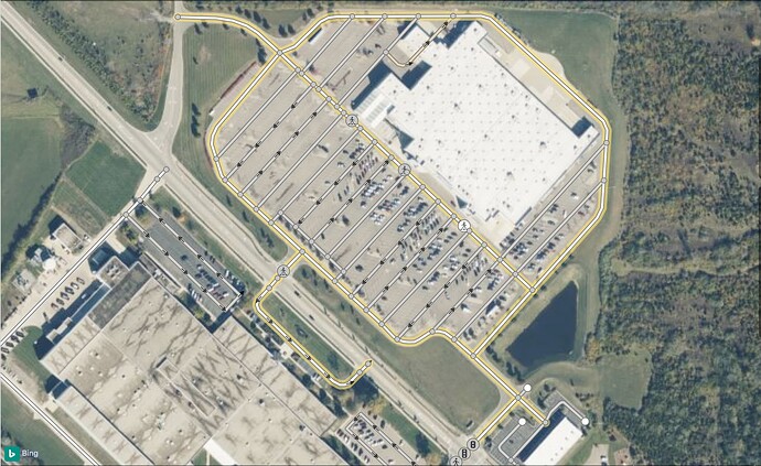
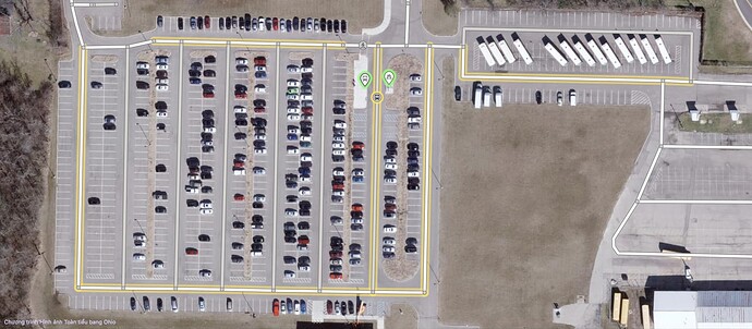
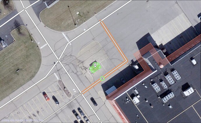
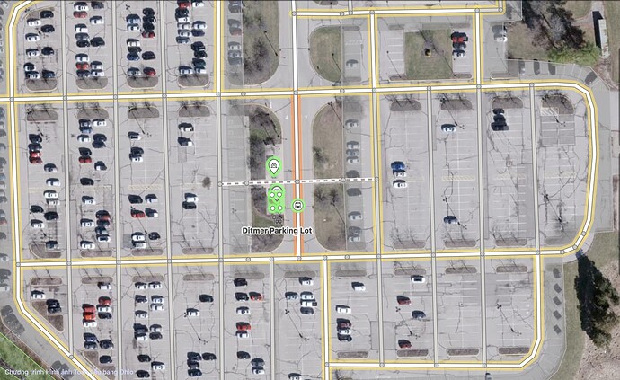
The challenges cover the whole US, split up by state, with CA, IL and NY further split into sections to encourage mappers to contribute in their local area. They highlight ways on OSM tagged highway=service + service=…, missing bus=* and psv=*, that belong to at least one route=bus relation. The instructions are, verbatim:
For each service road segment:
- Check to make sure the underlying
route=busrelations truly follow the path of the bus.
- Mark the task as too hard if the relation is broken or incorrect. Write a comment describing the issue.
- Or, fix it! Use JOSM to route the relation properly.
- Retag the service road segment.
Are there any objections to this project? Should I publish the challenges once again? Let me know your thoughts.
