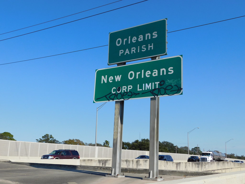
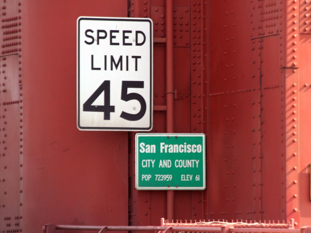
The principle to follow consistently is that we map territories, not governments. The rule of thumb I use is: where there’s a welcome sign, there’s a boundary. A local government only serves to justify the boundary as an administrative boundary as opposed to some other kind of boundary. Conversely, we may decline to map some administrative boundaries that only exist on paper. For example, epidemiological reports are uniformly organized according to county-equivalents throughout the country, but such statistical usage is less tangible than most of the boundaries we map.
Consolidated city–counties are tricky because they exist on a spectrum; many retain some identity at both levels. The 1870 act consolidating New Orleans with Orleans Parish defined coextensive parish and city boundaries. Signs mark the parish limits along the highway, sometimes without a corresponding city limit sign (though I think this is just a mistake). State-authorized agencies continue to be aligned to the parish rather than the city, such as the Orleans Parish School Board. Local residents rarely have much reason to refer to the parish, but they do acknowledge its existence. I think it would be appropriate to continue to model Orleans Parish as a coextensive boundary relation.
Legally, there is only one boundary for the City and County of San Francisco. This is reflected in the city-and-county limit sign along the highway and on the Golden Gate Bridge. Certainly saving costs on metal might have factored into the use of a single sign, but it also reflects how local residents hardly ever mention “San Francisco County” as a separate notion.
To me, a separate San Francisco County boundary would be more pedantic than a separate Orleans Parish boundary and not as legally justified. However, I remember being a bit annoyed when it was deleted a couple years ago. I could get used to seeing that boundary again.
One more data point: as a rule, we aren’t mapping Ohio’s paper townships, so cities and villages that have withdrawn from their surrounding townships exist inside a “hole” in our admin_level=7 coverage. In other words, the withdrawn cities and villages are treated as exceptions. This works because they don’t actually function as township equivalents in real life. They don’t have the dual nature that we’re grappling with for CCCs. All we’re doing is omitting the paper townships because we think no one will care but everyone would be surprised.

