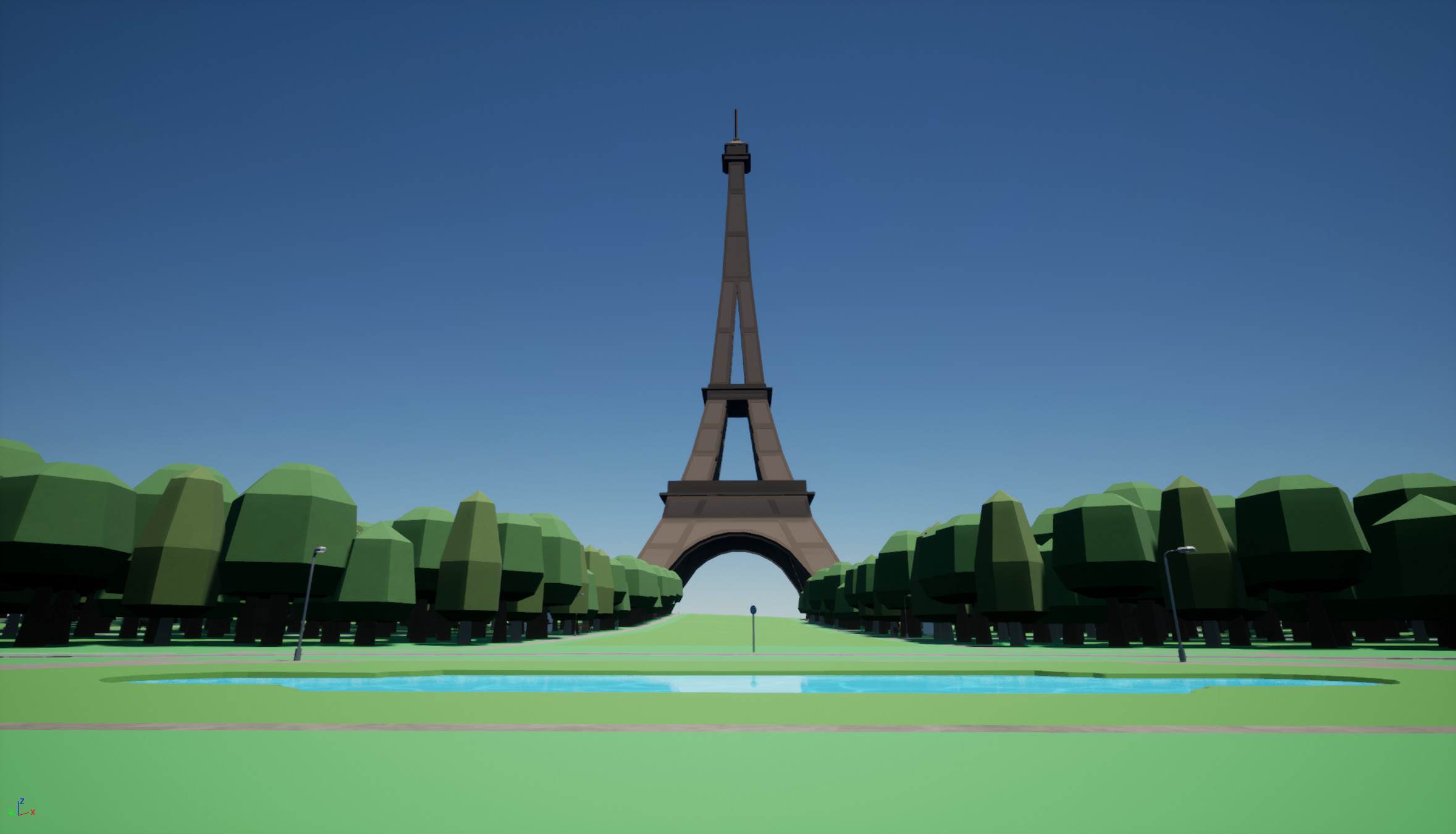
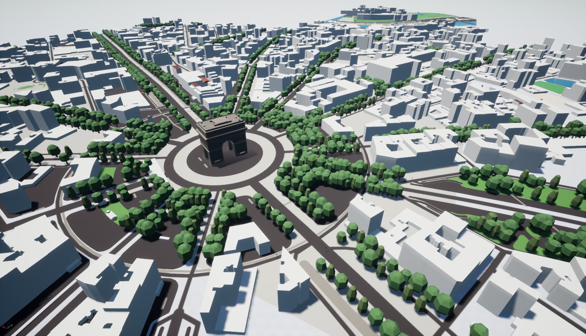
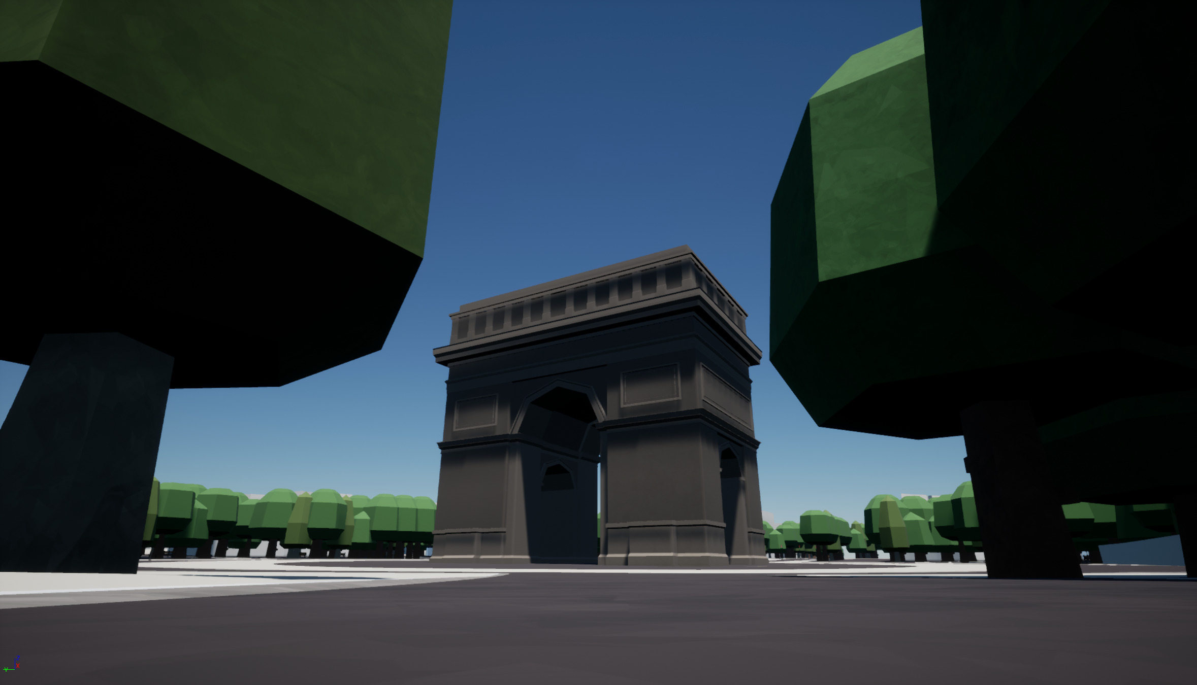
While inserting models of the Arc de Triomphe and the Eiffel Tower into our Openstreetmap based 3D model of Paris we noticed that mappers have been busy marking the location of every individual tree. Kudos to them!
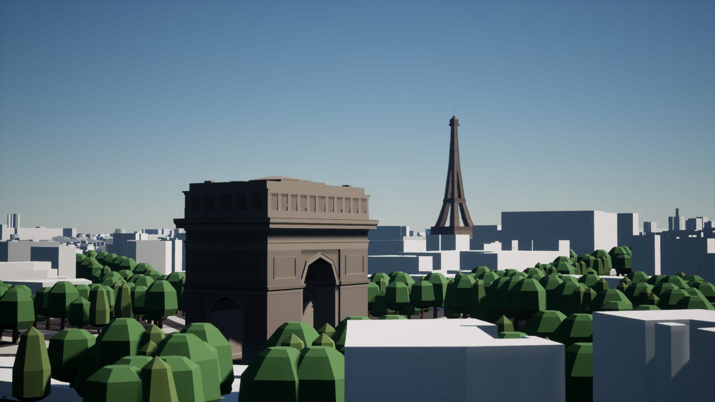
Ah - I see. They look good though. Chapeau!
Hi, is this the F4 map?
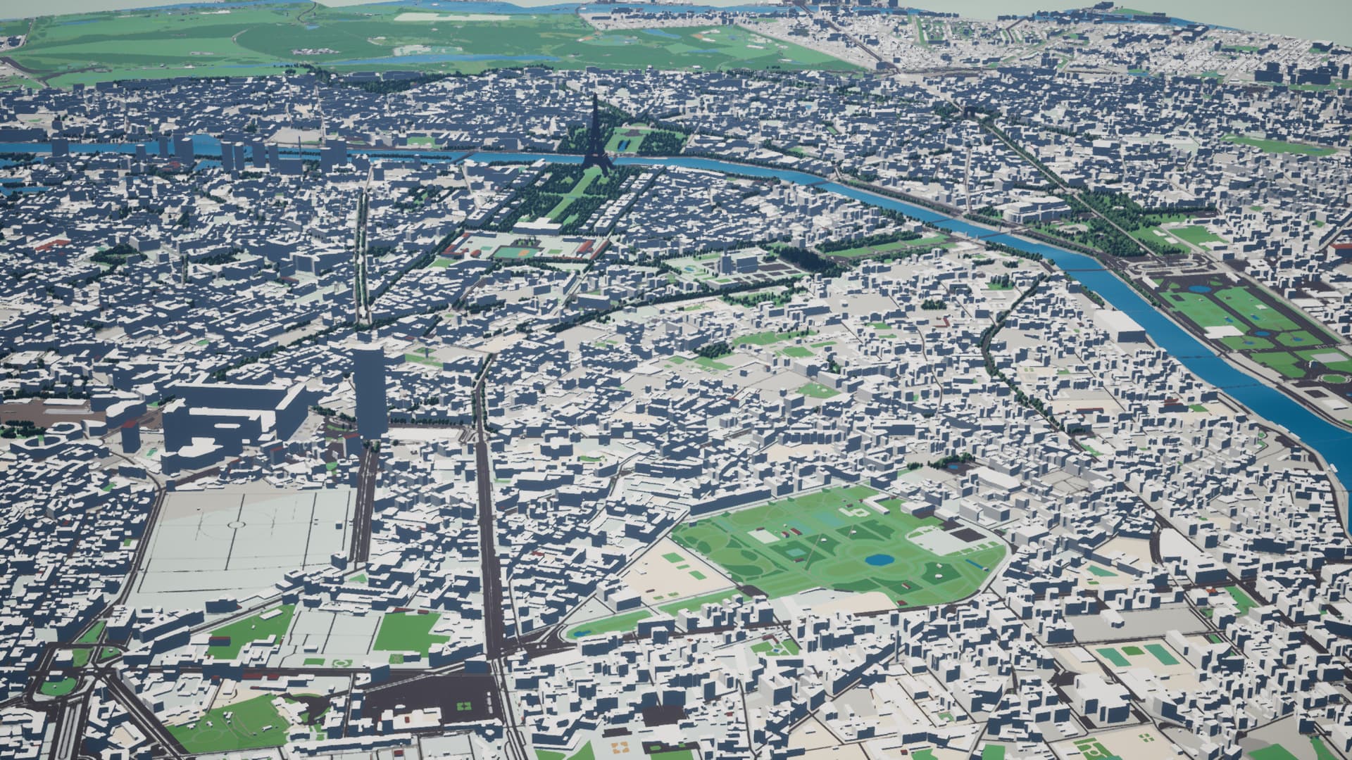
No - it is our own.
They are similar in that they use Openstreetmap data but the F4 map is online and browser-based but ours is offline and uses Unreal Engine 4.The biggest difference is that our model uses SRTM height data and has elevation. But more than that - our model is not flat. We model the geoid - so If you zoom out far enough you can see the curvature of the earth, and ultimately the entire world.
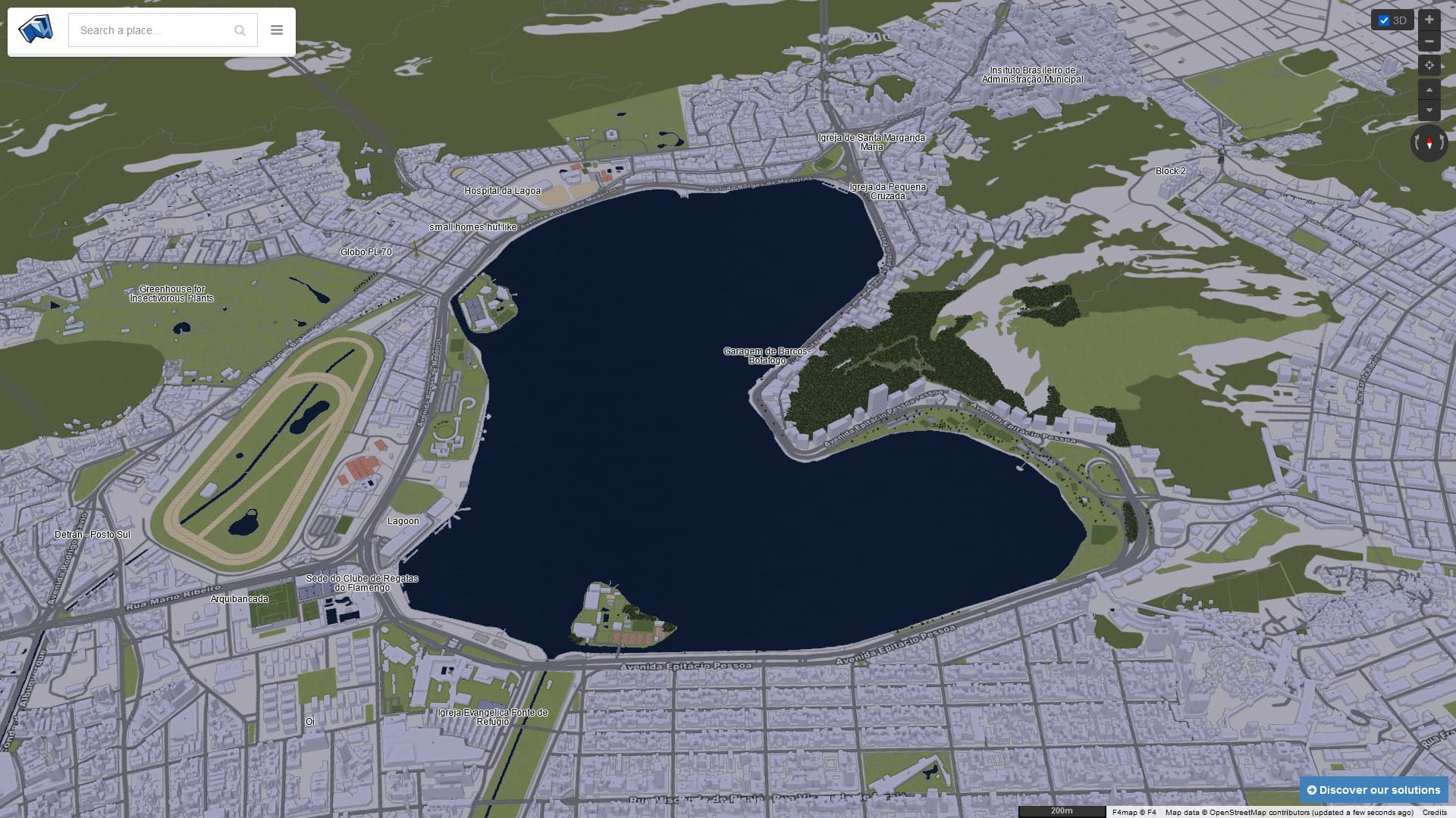
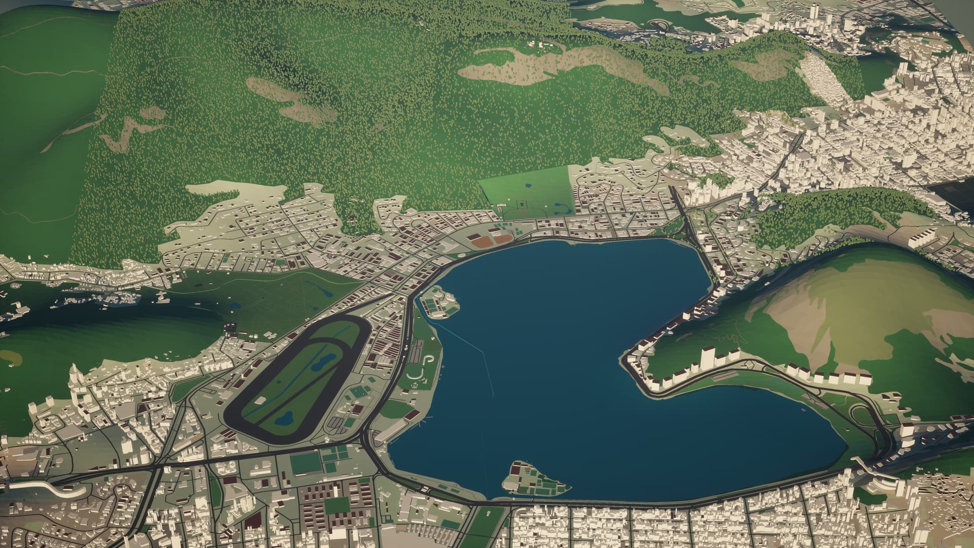
Here are some images of Rio for comparison:
2 Likes