tvajha
March 16, 2023, 4:30pm
1
Hi,
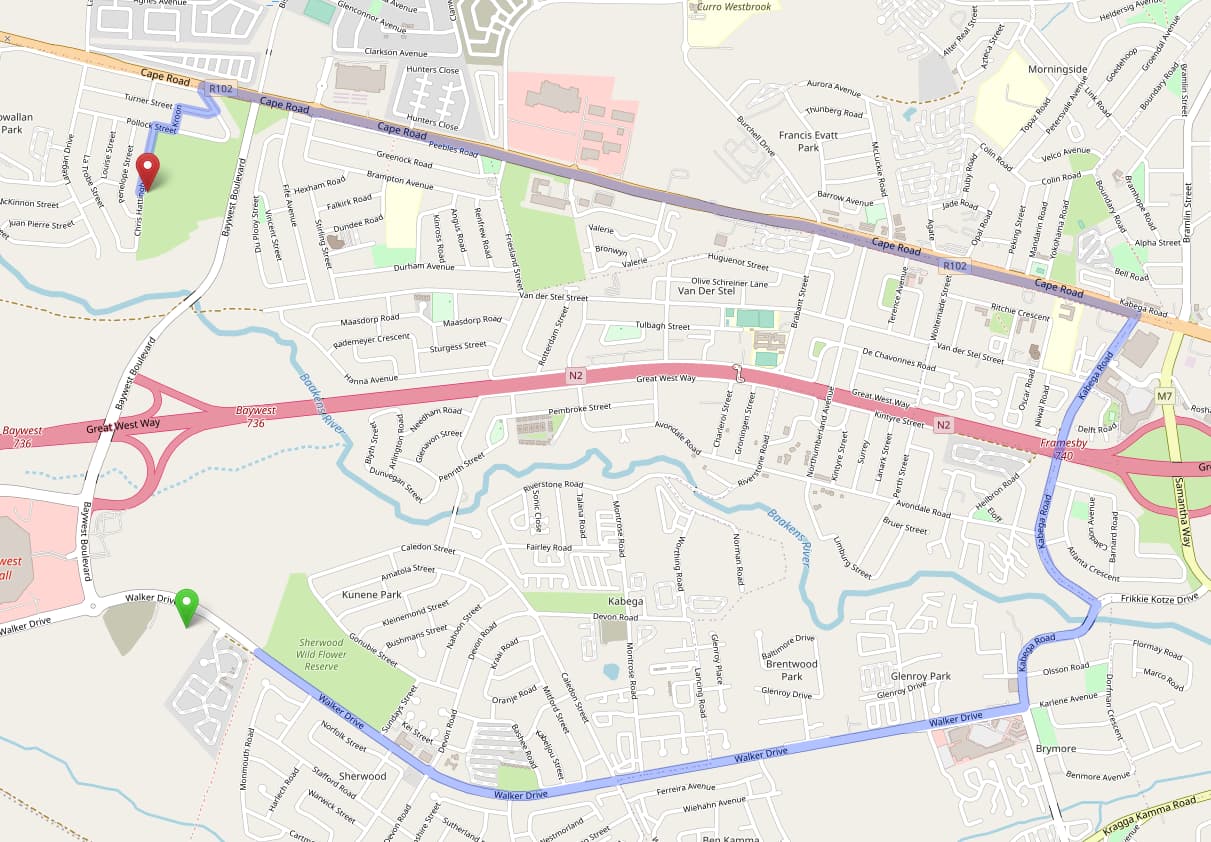
And here’s a screenshot of the route with Car(graphopper) profile.
The two locations are:
Anyone know what’s going on here? Does it have to do something with the car profile in osrm?
Thank you
tvajha
March 16, 2023, 4:31pm
2
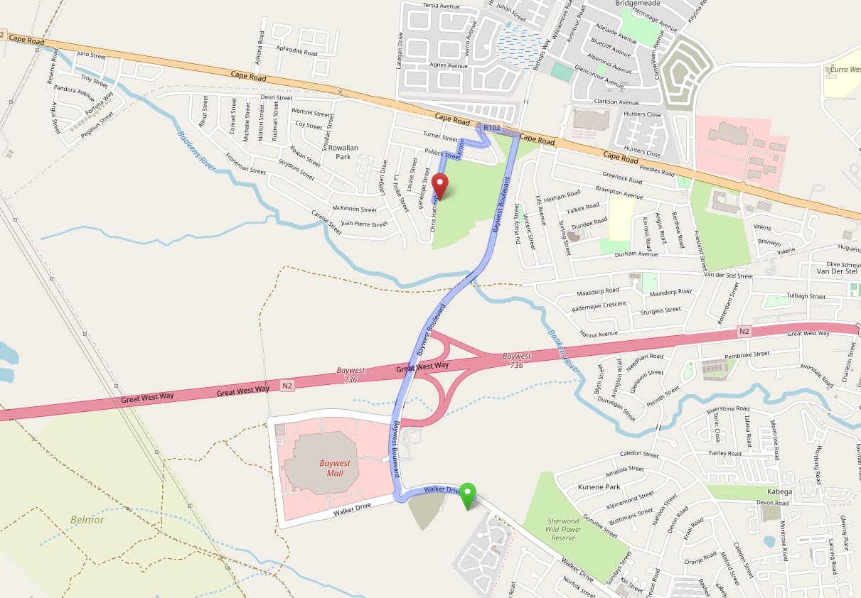
Here’s the other image with graphopper car profile:
Firefishy
March 16, 2023, 4:35pm
3
Port Elizabeth! I mapped some of that. Give me a second and I’ll check tags for any wrong restrictions. Maybe something bad around Bay West.
Firefishy
March 16, 2023, 4:44pm
4
I think I found the issue. The bridge over the N2 freeway near Bay West Mall still had proposed tags. I have now removed them: Way History: Bay West Boulevard (250213836) | OpenStreetMap
1 Like
tvajha
March 16, 2023, 5:45pm
5
Thanks @Firefishy , it still doesn’t seem to affect the route directions. Does it take some time for changes to come into effect?
Yes, two weeks is normal for public free routers.
1 Like