The only documentation I was able to find about the street=*-key is that it is a possible tagging error according to addr:street=*. So as far as I can tell it is basically undocumented.
I am not aware of any but I also do not know how to search for this. Is there a list where I can see which tags are in some way recommanded buy iD or JOSM?
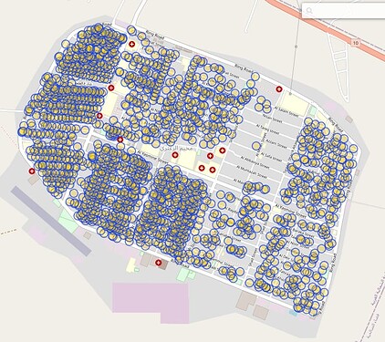
There is this refugee-camp I already meantioned. The data import was in 2014 and is documented here. None of these objects are part of my mechanical edit proposal. I will keep trying to contact the people responsible for this. If that does not wok out I would include it in the MapRoulette-Challenge for others to have a look.
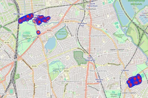
There is this area in London. About 90% of the objects where street=* is equal to addr:street=* seem to be in this area, added by one user. I just reached out to this user in a changeset discussion and am now waiting for feedback.
As long as street=* is undocumented, an editor could display a warning like “This is an unusual tag. Consider using addr:street=* or highway=* instead.”. After the MapRoulette-Challenge is finished or close to being finished, the people who participated could probably come up with some ideas for such warnings.
Maybe tags such as housenumber=*, postcode=* or city=* are also worth a look. There are in total 7495 objects using at least one of these tags. But on first glance I can’t see much of a concept. Sometimes it is city=name of city, so city=* should be name=*. Sometimes it is city=yes, probably to tell that this object is a city. A lot of housenumber=* seem to have a numeric value how you would expect it from a addrs:housenumber=*. I suggest to include some more of the addr:*-prefixes into the MapRoulette-Challenge.

