Also, this raises the question of whether the new Bing layer is Really 2016. Despite the 2016 metadata, I can clearly see the Mapi layer is newer in some areas.
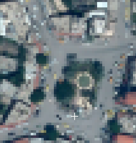
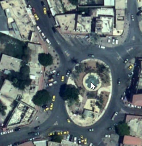
As far as I could see, it is easier to see roads, tracks and buildings in Digital Globe imagery than in the MAPI orthophoto.
On the other hand, MAPI orthophoto is more up-to-date.
zstadler, thanks for the explanation! Please note that Bing is more up to date compared to Digital Globe in Israel since recently. Apparently Mapi is more up to date than both. (My analyses is based on areas I am familiar with. I don’t know if that’s the case everywhere in israel).
This MAPI imagery is exactly the same as the extremely high-res imagery in GovMap, except that the higher zoom levels were removed. I wonder if we can ask MAPI to also freely release the higher zoom levels, that would be an excellent upgrade.
AFAIK, all the contents at govmap.gov.il is copyrighted and technically inaccessible by standard tile clients.
The raw images are available though data.gov.il, with a permissive license. Creating a tiles out of them would require human effort and a tile-server host.