The following is from a conversation between myself (AlaskaDave) and julcnx in Changeset: 117469089 today
Hi Julien.
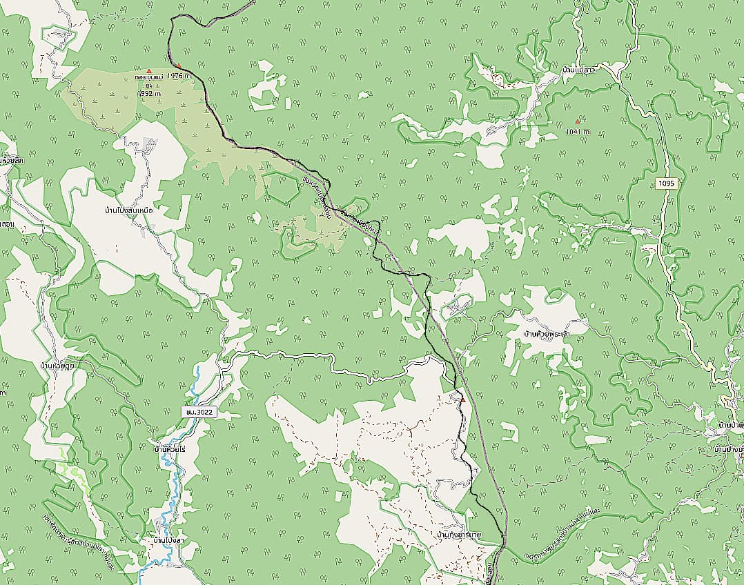
Today I came across this admin_level = 5 boundary you mapped or adjusted a while ago and I have a couple of questions. In the Wiki, it states that there is no admin level 5 in Thailand. This boundary between Mae Taeng and Chiang Dao, both being districts (amphoes), would seem to fit into the admin_level 6 category. In addition, I have zero experience with naming boundaries or assigning boundary tags so I’m unsure about how to name this one, or even if I should.
I’ve been using the Thai Topo map in JOSM to adjust boundaries in my area of Saraphi and it seems to be fairly accurate. You quoted WorldTopoMap as your source here but JOSM doesn’t offer that imagery. Is it still available in the iD editor?
Naturally, the Saraphi boundary I mentioned always defines the boundary of two subdistricts. Saraphi itself of course and the various bordering subdistricts. The name of the one I’ve adjusted is named merely Saraphi in OSM. In reality, it might be best split into segments where it shares a boundary and that segment named accordingly, e.g., Saraphi-Hang Dong
Even though the Wiki definitions are always suspect because so many contributors and editors are clueless or don’t know how to write, or both, it does seem clear that admin_level 5 is not in use in Thailand.
What are your feelings about adding a name and/or changing the admin_level of this boundary?
Dave
Hey Dave,
Thanks for reaching out!
Just to give you some background, I added those partial boundary edges a while back with limited knowledge at the time. They’re handy for detecting paths, like fire breaks, forestry tracks, or walking paths, since they often align with those features.
Regarding the WorldTopoSource, it’s deprecated from ESRI and shouldn’t be relied upon. I noticed it used on some public government sites and assumed it was viable, but that’s not the case.
Ideally, these boundaries should be reworked into districts (admin_level=6) and sub-districts (admin_level=8) relations, similar to what’s been done for provinces (admin_level=4). That way, they’d have meaningful names.
It’s been on my todo list for a bit, but now that I’ve found some open data we can use (GITSDA), it’s given me a bit of a boost. Just need to squeeze in some time for it!
Anyway, I’m glad to see someone else interested in this topic. Feel free to make any changes you think are needed.
By the way, could you let me know where I can find the “Thai Topo” source you use in JOSM?
Comment from AlaskaDave about 2 hours ago
The Thai Topo I mentioned is available as an imagery layer in JOSM. I have been using the OpenTopoMap layer for some time but the Thai Topo layer has details OpenTopoMap doesn’t have, for example, boundaries of districts and National Parks. However, they must be hand-traced from the imagery, just as you would need to do if it was a satellite image. Tedious but better than nothing. It also contains the names of many residential streets, temples, schools, towns, routes, waterways, etc. The route refs, however, are sometimes out-of-date so I presume the data isn’t all that fresh. Aside from that, the names of towns, rivers, and temples etc., don’t usually change over time and the checking I’ve done shows mostly good agreement with current names.
Please give me some tips about the GITSDA data. I went to the site Paul_012 provided earlier and could get only KMZ data for boundaries.
(I asked next if we should move this discussion here as an extension of our conversation about Sources of Official Boundaries. Julien agreed and so I copied a slightly edited-for-clarity version here. He also said he would explain how to use the GITSDA dataset.)