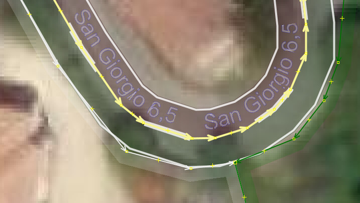
From one of the recent discussions went out to read to include the connectivity relation and tried a few bits before buying the “lane and road attributes” style. Hallelujah. Being big on tagging destinations and directions whenever encountering guideposts, living here in a true maze, this picture told me almost everything, to include realising the destination:backward tag should have been used instead of destination:forward as the little locality is along this road to the west.
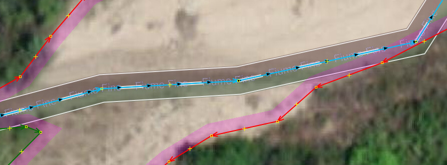
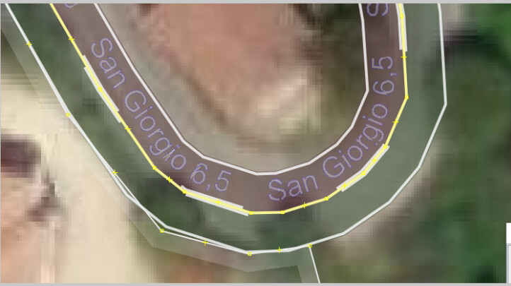
There’s just 1 piece missing here that I think could use a little help… The arrows that show which direction the road was mapped. When unselected maybe red, when selected maybe white, though the second pic is somewhat better after a little staring.
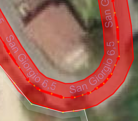
Not everyone sees colours with the same definition, it certainly would help me.
Tested what the interrupted white bars do when overtaking is forbidden and lane_markings=no and lanes=2 is removed. Neither 3 tags had effect, presuming that forward/backward destination tagging would do something removed that upon which all the augmentation disappeared, but lanes=2 put it back. Good.
All I’d like is getting the drawing direction arrows to be a little more emphasised/contrasted, JIC the maker of the great mapping style addition is reading this, if it can be done, please do.
TUSM.