Is there consensus on mapping pavements (sidewalks) separately to roads?

While true, in residential areas there often are no “safe” crossings (and aren’t needed) but only unmarked crossings with lowered kerbs. But people don’t only forget to add them, they even remove them, because “there is no way” which leads to bizarre detours for pedestrian routing or “sidewalk islands”.

1 Like

That’s a poor excuse for a data model that won’t yield sensible routes for able-bodied pedestrians.

Also, I happen to fall into the category of “somewhat impaired people” myself and that does not magically make safe crossings appear on the roads around my home. So I can choose to either cross the road where there is no crossing or take a taxi everywhere.

More generally, these sidewalk discussions could be a lot more productive if we started with an agreement that the data model should meet the requirements of all use cases. I’m sick of 10 years of “your use case is irrelevant, let’s just throw it under the bus”.

6 Likes

We should be able represent any type of sidewalk. Whether it is part of the road or its own way if separate. Even more importantly the transitions between them. Part of embracing diversity is for those in charge to step out of their comfort zone. Then ry to understand why the status quo may not be working for everyone.

1 Like

FWIW, there are easy mistakes a mapper can make for transitions between non-separately and separately mapped sidewalks which are not intuitive to spot but will confuse software.

One case of this came up for the kerb-quest in StreetComplete: Kerb / Curb quest surface type and tactile plates for sidewalk data · Issue #1305 · streetcomplete/StreetComplete · GitHub

For example, if an intersection was mapped like this and from crossing onward, “Langelohe” would have sidewalk=both, routers may think that the pedestrian needs to cross the intersection halfway to be able to continue onto Langelohe. I figure, it is the same problem for situations where sidewalks are only separately mapped onto one side of the street and so a crossing way just ends in the highway=crossing (because it is sidewalk:left=separate + sidewalk:right=yes)

Additionally, see the link above for which issue this mapping creates for StreetComplete.
image

As far as I know, data consumers should have no issue when the transition is mapped like this:

image

I.e. it’s sidewalk=separate (and footway=sidewalk on the red ways) on the section of “Langelohe” before the blue circle and onward with sidewalk=both. This “intersection” should be interpreted as a fake one thanks to footway=sidewalk on the red ways).

But of course, to be honest, this is another pitfall for any software that processes intersections by looking at where ways cross each other.

2 Likes

I always map sidewalks separately. A couple situations that are common where I live which others might not think about:

  • Places where the road was demolished, but the sidewalks were kept.

  • Places where foot paths have separate sidewalks on each side of them, paved differently from the foot paths themselves.

  • Places where a motorway stops and turns into a foot path, but the sidewalks continue.

  • Places where the only way to enter a named street (usually not a car accessible one) is by a path perpendicular to a sidewalk. Connecting those streets to the road is misleading.

  • Sidewalks that have steps in them. Most commonly, these are in line with the sidewalk path. However, I recently came across a sidewalk that was so wide that there were perpendicular steps for walking across the width of the sidewalk. I mapped that as an area with several paths within it.

1 Like

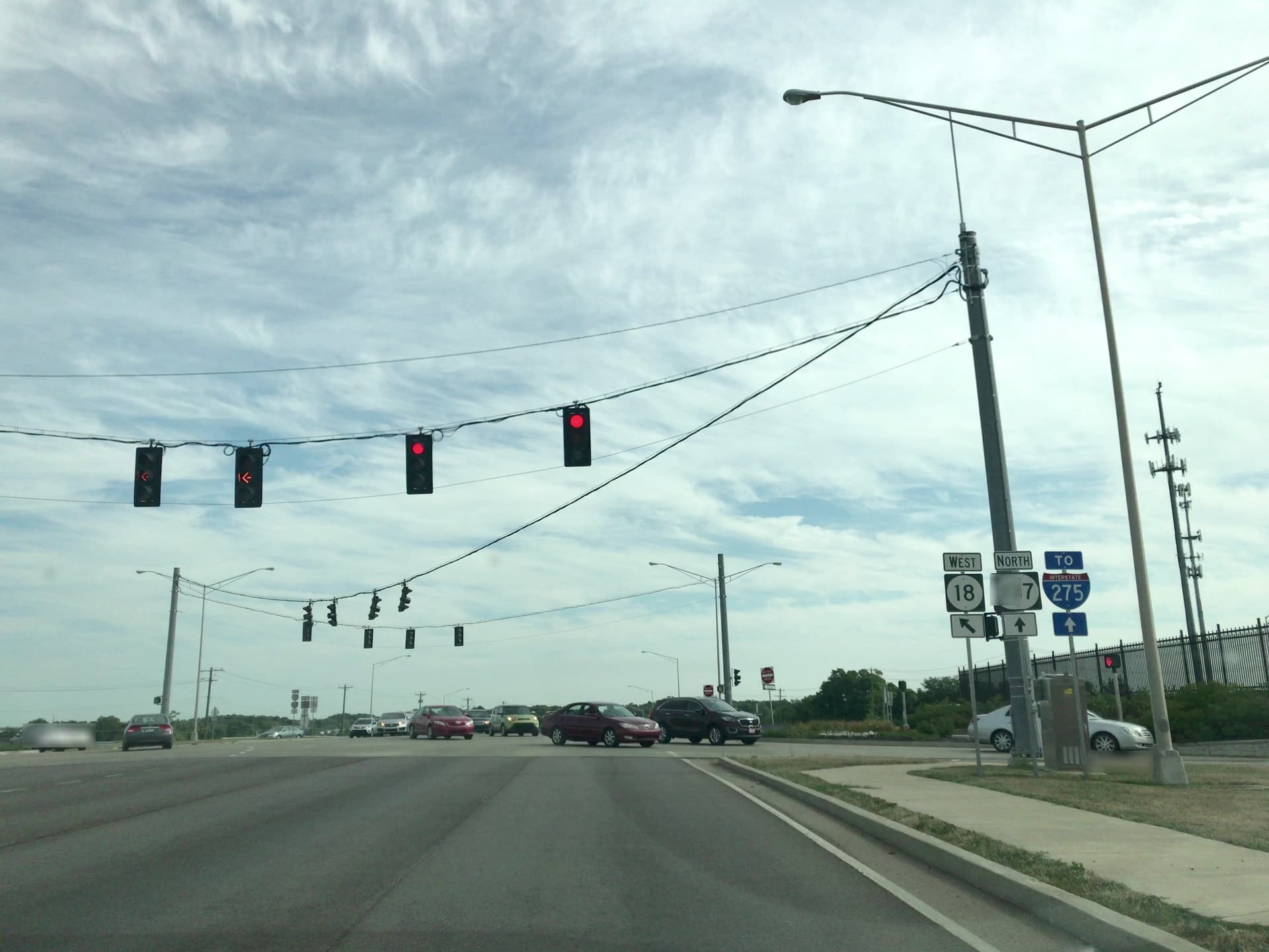
This is a consideration that varies considerably from one locale to another. On one end of the spectrum are countries like Vietnam where crosswalks are rare, and the normal way to cross a busy street is to hold up your hand and cross anywhere as dozens of speeding motorcycles swerve around you. As I mentioned earlier, the U.S. is at the other extreme: in some cities, people without mobility issues do routinely jaywalk, but elsewhere, they seldom do, which means drivers are unaccustomed to watching out for someone who is crossing the street.

Either way, a router that glosses over implicit safety considerations would have to lean quite heavily on its disclaimer of liability – hardly an incentive for developers and users to trust OSM for accessibility.

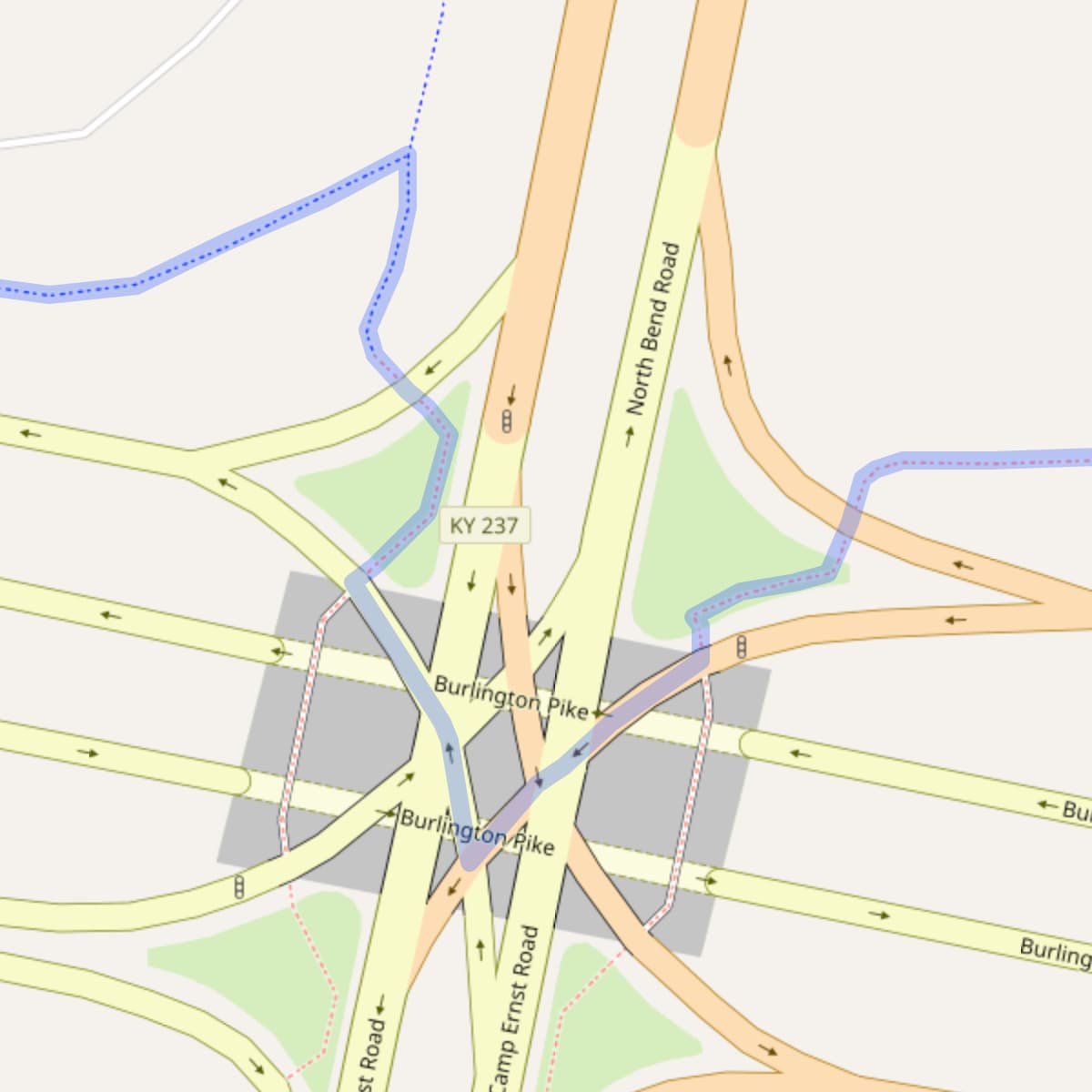
Right, sidewalk mapping shouldn’t be a zero-sum game. From a typical router’s perspective, there are very few things that would disqualify a way entirely, like access=no or hazard=dragon; the rest is about balancing priorities and penalties.

That balance is difficult to achieve. In principle, each of these very common examples of poor routing could be solved by omitting detailed sidewalk ways or by having the router avoid all roadways. But sometimes using the roadway is truly required and probably safe. Other times, it’s probably legal but very risky. Is cutting out a 1½-mile-long detour worth the risk of road rage and serious injury? I’m not sure that a router should automatically answer that on behalf of a pedestrian visiting an unfamiliar place. At most, a router might present a shortcut as an alternative for the user to select at their own risk, but not as the main route.

spui
spui-kartaview

The more context we can give routers, the less that routers will need to guess without the benefit of local knowledge, and the more that end users can trust what the routers recommend. There are indeed many use cases, not all of which are satisfied by a one-size-fits-all routing profile. Just as micromapping has given rise to alternative rendering styles and even 3D rendering, maximizing detail about pedestrian infrastructure can promote the development of alternative routing profiles for additional use cases.

5 Likes

exactly, it depends not only on legislation but also on local habits. If drivers are watching out for crossing pedestrians the situation is completely different as if crossing pedestrians were super rare. And the geometry of the road is important, if you only have to cross 1 or two lanes it is much safer than it is crossing 10 lanes, where the time to cross renders it impossible to foresee arriving cars even at medium speed.

2 Likes

Where I live in the US, Baltimore, is kind of an extreme example of how varied crossing safety and habits can be. What would be considered “jaywalking” in other parts of the country is a requirement to walk anywhere - I see disabled people wade into moving traffic like it’s nothing every day (my self included, as much as I forget it). When I was in Philadelphia recently, I got flipped off by an angry driver for walking like this there without thinking it would be that different. This situation is a result of a large proportion of the population not driving, dysfunctional infrastructure, and an absence of any traffic enforcement. In the neighborhood I grew up in, there is a cop car permanently parked in one of the crosswalks, so jaywalking was just what you did.

What happens in an environment like this is signalized crossings reliably make a pedestrian route worse, both in safety and efficiency. Signals are ultimately for cars and if there is a working one that is present, it is because there is a lot of car traffic there that isn’t at unsignalized crossings. Because there is no traffic enforcement, there is nothing stopping cars from running a red light, and when a signal breaks it could be months to years before it gets fixed. Pedestrians end up optimizing along routes which have less traffic and therefore less signals, which there are a lot of. When I was going off my normal route to take some photos this week, it became clear how much worse the signalled crossings made the walk - I was waiting 5 minutes at the minority of signals that worked, and either waiting way too long or having to cross at really hazardous times at the majority of signals which were broken. Counter intuitively, the safest routes here are less likely to have signals and markings, less likely to have sidewalks, and less likely to include named streets.

I agree that putting more context on the map is the most we can do about this at the moment. Already, before I’ve been mapping locally, the de facto standard in Baltimore has been to put an unmarked crossing at every intersection of a road and sidewalk, including alleys and driveways, and mid-block unmarked crossings to the other side of the road at every T-shaped alley or minor road junction. I’ve been thinking of how to go further in making it clear how a road is used without literally saying it - I’ve been experimenting in also including unmarked crossings connected to the middle of roadways where walking in them is safe, common, and necessary. I recently learned there is an “on kerb parking lane” tag documented on the wiki that will come in handy for sidewalks where I know walking on them isn’t possible because people park on them. For corners where the police block crossings, I’ve been adding light tower fixtures which they usually set up, and the “personnel”/supervised variant of the surveillance feature on a node.

There some pieces probably missing from existing tagging schemes necessary to describe how the pedestrian network functions. The biggest thing I find missing is the ability to clearly describe things as “broken indefinitely” and “functional, but hazardous.” Disused or abandon doesn’t quite cover it because I would think of those as things which are left behind from something by circumstance but aren’t expected to be working anymore, like old telephone boxes. If a pedestrian signal was installed that was broken before it even got put in the ground, that is a different situation - it’s supposed to work, but it just doesn’t.

1 Like

The biggest thing I find missing is the ability to clearly describe things as “broken indefinitely” and “functional, but hazardous.” Disused or abandon doesn’t quite cover it because I would think of those as things which are left behind from something by circumstance but aren’t expected to be working anymore,

for things that are broken indefinitely, the “abandoned:” prefix is what I believe is used, for things left behind as well as broken and maybe repaired in an indefinite future. What kind of things are you thinking about? I am for example mapping drinking fountains and some of them are simply not running at the moment (disused) while others have essential parts missing (tap) or are otherwise broken and unusable (abandoned if the damage looks old). There is also very few use of “broken:” https://taginfo.openstreetmap.org/search?q=broken%3A

functional but hazardous maybe could be expressed by adding a hazard=* tag?

Cheers Martin

1 Like

Traffic signals, especially pedestrian ones are one of the main things I have in mind. There are some similar tags that have been picking up steam, like tactile_paving=incorrent with the same kind of intent in mind. Might not necessarily have to use the lifecycle prefix, I’ve been experimenting with different things.

Take this one for example, which is brand new (installed April and has never worked): Node: 9780993730 | OpenStreetMap

If you look at the commons link on the node, I put in pictures of what used to be there and what’s there now. The previous signal got destroyed when it was hit by a car some time around April, and used to have a push button. It’s been replaced with a dummy signal which never switches from the red hand (and has no push button). Because the signal on the opposite side of the street has a push button that is supposed to be connected to it, now that button doesn’t do anything either and has become broken despite looking the same and not being touched at all. That’s this node: Node: 9780993725 | OpenStreetMap

Abandoned makes sense for things that have fallen out of disuse, but it doesn’t seem specific enough when there are quite a lot of features to map that never worked to begin with. Then with that pedestrian signal which is supposed to have a connection, it’s only broken because the one on the other side is broken. So if someone saw “abandoned” and expected to find something that looks disused or left behind in some way, they wouldn’t find it, but they would notice it’s broken if they push the button and realize 10 minutes into waiting it never switches.

If a tagging scheme for this catches on, it would be very useful in some places and not so much in others. There are hundreds of things like this which could be tagged as broken in Baltimore, but there’s no reason to use a tag like this in Washington, D.C. at least for pedestrian signals because that city has the resources to fix pedestrian signals.

This is an example of the kind of thing that is common - this thread is about a bike lane signal that was broken for over a year and despite multiple city councilors, the mayor’s staff, and people from within the department of transportation itself asked to have it repaired. As far as I know these things don’t happen in part because the people employed to fix signals just don’t want to fix them. https://twitter.com/jedweeks/status/1467271602916274184

I nearly got run over by a department of transportation maintenance vehicle running a red light last month, so this kind of thing is still going on

Seems like we’re drifting away from the original topic. Maybe the lifecycle or nonfunctional issues can be discussed in a separate topic?

1 Like

I don’t really see it as different because it applies to basically every sidewalk I map but if there are non-pedestrian uses for it that could be a topic

1 Like

I don’t have anything separate from this topic to say anyway. It’s just one of the main reasons I map sidewalks to begin with

Edit: OK but I will elaborate. It would be easy to start using broken: more and there’s not much to say about that other than do it. Pedestrian signals though, that’s an interesting topic for a thread

I’m someone who has been mapping casually in OSM for a while, but have been working more regularly in the last year or two, requiring me to dig deeper into the wiki, ask more questions in the OSM-US Slack, and also examine existing elements.

From that perspective, sidewalks mapped as separate ways have been hugely helpful. I’d previously tried to add and update cycling infrastructure in an area I lived in and found it somewhat challenging to navigate all the information in the wiki required to make sure that I tagged the main road ways correctly for cyclists, while separate paths for cycling were easier to navigate and sort out tagging for. As someone who had been casually mapping for a few years, the only reason I knew OSM even had sidewalk data was that StreetComplete sometimes asked me about sidewalks - the data was nearly invisible to me as a newish mapper.

Then I started doing work in an area where someone had mapped separate sidewalks in some of the neighborhoods, showing me map details I hadn’t noticed before and adding to my understanding of the data model. Separate ways for separate uses, at least in the case of something that is physically a separate piece of infrastructure, has been very helpful for me as a mapper, because 1) I can see that it exists at all, 2) see it on the map where someone else added it and go look at how they tagged items I’ve seen on the ground, and 3) editors like iD can provide guidance and assistance when I can explicitly set my intent to map a sidewalk, as opposed to mapping on the road where it’d be overload to ask me tons of details about a sidewalk.

With that all in mind, I think that not only can we get more detailed information for people who are using the infrastructure itself, but can more easily welcome and train new mappers to add the information at all when the features are explicit rather than implicitly tagged on a road way. I don’t think this is the most important argument in favor of separating ways for sidewalks - I think those arguments have already been made by others - but it’s one more reason for it, in my opinion.

5 Likes

it exists in Poland, which - as far as I know - is in Europe :slight_smile:

2 Likes

And to answer question asked: there is NO global consensus but there is typically a local one and it is better to follow it.

Though local mappers may decide to switch which style is preferred.

Which is preferred often depends on which model is less problematic given local culture, laws and mapping activity.

10 Likes

I do think there’s no reason to move a separate sidewalk once it’s there - I tend to see it just as adding more rather than changing the style

2 Likes

Apart from any conclusion, I am here just to spread the word of mapping sidewalks as separated geometries:

for me there is no polemic, as separate ways is always the best as it allows for richness of information and higher level of detail.

(but still needs to be discussed with local community, of course)

1 Like

While it is correct that it allows for higher level of details, I’d point out that this in itself does not imply that “it is always the best”. Separate mapping has disadvantages too; e.g. to name a few (without intent to spark discussion about which is better, but just to show that other side exists too):

  • it increases database size (e.g. “sure, million of natural=tree nodes each with its own species=*, height=* and diameter=* is way more precise then one (or a few) areas with just landuse=forest and leaf_type=*, but except for some outliers, majority of users would probably agree that it is bad idea to that precise in that case). While in the past it was often suggested to disregard this aspect as more detail is often deemed more important, it does cause problems (slower operations, requiring better mobile devices and better servers, discouraging local custom instances due to time and resource requirements to replicate DB etc). Separate sidewalks (and by extension, separate cycleways too) ways are only somewhat less extreme.
  • it often (i.e. almost always if we disregard imports) increases initial effort. e.g. I can mark sidewalk situation on the ground using StreetComplete in literally three clicks per street without even slowing down my stride, while mapping them as separate ways in iD, JOSM or Vespucci is significantly more work.
  • it increases maintenance effort. E.g. if better / more precise imagery becomes available, it is not enough correct one way, but 3 (or 5, if sidewalk+cycleway) need to be corrected. And unless uses some helper functionality, it is very likely the result might be ugly (e.g. roads and their sidewalks not being parallel) and thus less visually pleasing and harder to interpret and use.
  • it is harder to associate related elements and to keep them in sync, and it is less neat. More precisely, if sidewalk is considered integral part of the road infrastructure connected to some road, one may need to detect what road it is associated with (e.g. sidewalk:left=separate, footway=sidewalk, is_sidepath=*, relations etc.) It also breaks 3NF (IIRC database purists out there).

Absolutely this.

6 Likes