I am an iPhone user and I have a suggestion for OSM development,
i apologize if this issue is being discussed elsewhere or has been previously dealt with,
I have noticed that there seems to be a demand for mobile device “offline maps”.
So far I have run into somewhere around 10 different OSM applications for iOS that are very nice to use…
however it seems they all use an uncommon encoding for the map file and I haven’t been able to find a converter that works for any of these apps.
I noticed that there is an export feature for the openstreetmap.org browser,
I think it would be a great idea if you could export the openstreetmap tiles (at any zoom level) to be used on a mobile device…
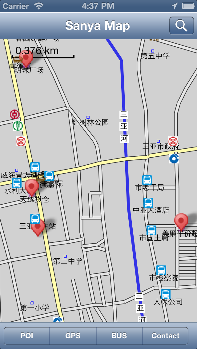
Currently I am using Open Maps Pro for iPhone,
I am able to download the selected area that I would like but it is close to 2GB of data and takes a lot of time over a WiFi service, it would be really useful to be able to download the file on my desktop PC and use a program like iPhoneBrowser to copy the files directly to the Open Maps Pro library.
I’m not a developer or anything like that so I’m not too educated in this regard…
but I do think that with the growing market of mobile device users it would be a great development to provide support for mobile offline OSM map exporting.
There is Mobile Atlas Creator which can download tiles and make maps for a variety of moible software. Though checking the list of formats it doesn’t seem to mention any software for iOS. http://mobac.dnsalias.org/
Note if downloading tiles from openstreetmap.org you should make sure you follow the Tile usage policy. http://wiki.openstreetmap.org/wiki/Tile_usage_policy
It says that bulk downloading is strongly discouraged. There are other tile servers which may allow heavy usage, eg Mapquest.
I figured someone has probably begun doing this, but as I had presumed…it is less likely to be available for iOS seeing as you need a jailbroken iPhone in most cases.
I will probably have better luck exploring an iPhone development source i suppose,
thank you also for raising the usage policy to mind too,
it seems most map applications for iOS use OSM as their server because they can access the data for free,
many of the applications allow you to download the tiles via the mobile device,
I wonder if OSM has had any issues with this because, for Open Maps Pro at least, there is no download limit on the mobile device.
To part answer my own question, for anyone else who is interested, I followed a forum string discussing using Mobile Atlas Creator for iOS applications, apparently the newest version of MAC is enabled for sqlite format
(the cache filetype for iPhone 4.0+)
you can follow this information here:
We have really severe problems from these (generally paid-for) iPhone apps scraping tiles from the OSM servers. We have a Tile Usage Policy - it’s clearly linked from the “Copyright & License” link on the OSM front page - and apps have to abide by it. Any which don’t will be blocked. At one point the other week I think about one third of total load on the servers was from one single app. That got blocked pretty sharpish.
At the risk of stating the really obvious, the OpenStreetMap tile server is not anyone’s bitch.
I’m currently exploring various free methods of obtaining offline tilesets for pretty much the entire globe. I need some direction on how to obtain all the tiles from OSM.org. As I understand the legalese of the license, if someone asks for the data, it must be provided. Now, we don’t need all of this data in one shot, nor can we even handle all of it. However, we’d like to start seriously exploring working with the administrators of the tile server(s) to come up with a way to provide this in a reasonable time frame without too much trouble. Our app suite will work entirely offline and, when a new area of study is identified, we’ll need those map tiles for a specific extent, most of which are fairly small (say, 250 square miles).
My initial questions are:
What is the current OSM policy for grabbing tiles over a certain extent from the tile servers so that we don’t raise any red flags and get kicked off for overuse/violation of policy? (is it a bandwidth count? a connection time? a hit count?)
What is the size of every tile set for every resolution currently available for the entire globe? (we need metrics because we’ll be running a local scrape-and-tape when we get the tiles for each extent)
What is the size of a tile set for a 250 square mile extent at every resolution available?
Is there a way to make the tilesets available to the general user community that doesn’t use the tile servers? (like an ftp site with a geographically indexed set of directories?)
If my post is in any way viable and we can begin to move forward on this initiative, how could we give back what we’re doing to the OSM community in a data structure that’s valuable to more than just a handful of developers? (i.e. if we take, we want to give back)
We have another handful of questions, but in the interest of brevity and cooperation, I’ll leave it at this for now.