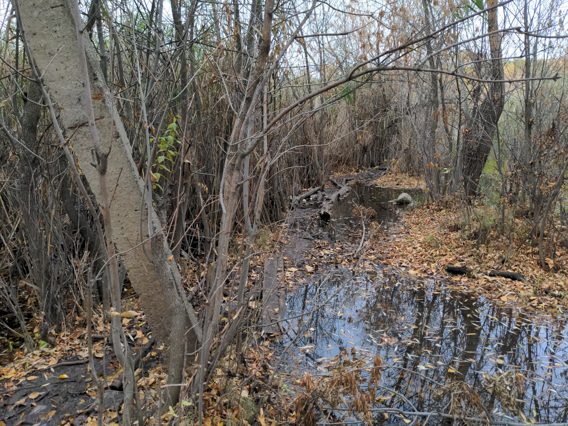
Here is example of a ford on a footway in nearby forest. I think it’s difficult to pass for average person. How such ford should be mapped?
[ford=yes, hazard=slippery, surface=mud, highway=footway], or simply remove this portion of footway to indicate there is no easy route for pedestrian here, maybe something else?
This looks like a state which may change with the weather (or seasons), and could just be seasonal local flooding rather than the ordinary state. I don’t think we have any specific tags to deal with such contingencies even though they may be significant in planning a walk.
In Northern areas of Europe & North America woodlands are often submerged in water during the spring snow melt: something we picked up in discussion during a walk through woodlands and wetlands after SotM-EU back in 2014. Local expectations may play a role in whether something needs to be tagged or not.