I wanted to map a certain region in Montreal and wanted to add imagery using a custom WMS link, which is provided by the Quebec Government here: Réseau géodésique du Québec - Points géodésiques - Ministère des Ressources naturelles et des Forêts (under the “Web Service” section).
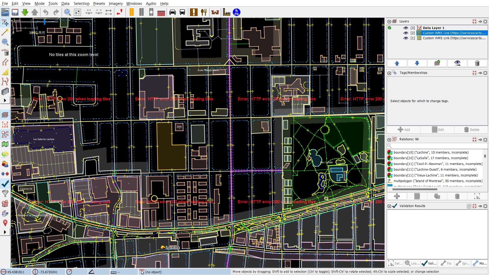
On adding the link in JOSM under “Rectified Image” in the “Imagery” Section, I am getting the following Error: HTTP error r200 when loading tiles.
How can I resolve this?
InsertUser
(Insert User)
2
Separate to the technical issues there is a note on the wiki page for license compatibility saying:
| License (link to full text or overview) |
ODbL compatibility |
Contributor Terms compatibility |
Notes |
| ⁝ |
⁝ |
⁝ |
⁝ |
| CC-BY 4.0 International |
likely incompatible attribution requirements and other terms; additional waivers required for reasonable attribution and unrestricted distribution |
problematic in case of future license change if incompatible new license is chosen |
Read this LWG blog post for their evaluation of CC-BY 4.0 and why an additional agreement (see the cover letter and waiver form) is requested. |
Do you know if a waiver has already been received for this data? There appears to be one for Montreal’s data, but I don’t see one for the province?
3 Likes