I want to get the shape of this region (from overpass), but I cannot find a relation that contains all the coastlines. Something equivalent to this: Antarctica - Wikipedia
Instead, I can get the following which is not correct:
I created a relation for the Antarctic area, but I am not sure if this is correct. I mean it has a lot of members (7076), and it covers a huge area: https://www.openstreetmap.org/relation/15057772. Also, in JOSM it returns an error because it is considered a not closed area (I don’t know how to correct it, form 180 to -180.)
Also, this relation is part of a parent relation that includes islands (I took the only big antarctic area, antarctic peninsula relation and modify for this): https://www.openstreetmap.org/relation/15057165 (I didn’t include other island on the antarctic.)
It lacks many
I suspect you won’t be able to create a relation within OSM that does what you want, because to see Antarctica sensibly you need to use a different projection to the one that OSM uses.
I have absolutely no experience of this, but if I was doing it I’d probably try searching for “polar projection” on one of the GIS Stack sites.
Thanks for the appreciation. You are right, for the image example I put in the question, I will need another projection. In fact, what I really need is the coastlines to be imported in Postgres, and then perform a query to check if an OSM Note belongs to this area or not (ST_Contains). That’s why I need the continent boundaries (the data).
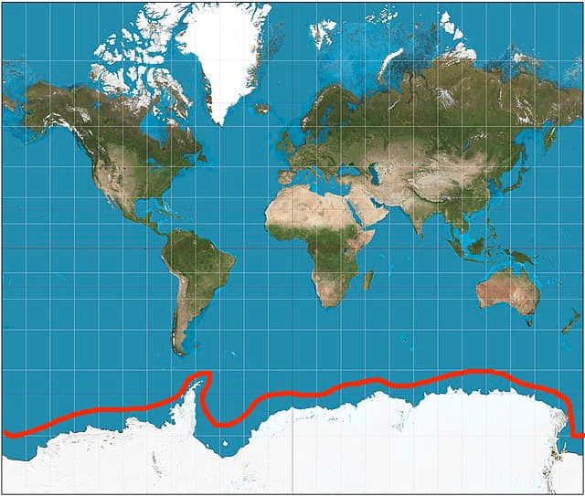
With the current polar boundaries, I have this (a polar rectangle):
Coastlines aren’t necessarily joined up into relations so it’s not surprising you can’t find one for. See this page for their treatment. The shape files used to render the needful are linked from that page.
What do you want to do with the shape after you have it?
This is a known deficiency of that projection: poles and areas around them is not rendered at all (if rendered then pole - point - would be a line as long as equator)
Wait a minute. Don’t we always say that OSM is the database, not the slippy map? The database uses no projection at all, it’s just plain lat/lon data (in a somewhat fuzzy CRS, admittedly, but that shouldn’t matter as long as you don’t need meter-level precision).
FWIW, I pulled Andres’s relation into a PostGIS database, ST_LineMerge:d all the lines into a single linestring, added a dummy segment from the end to the start to close it, and created a polygon from the result. As a GEOMETRY object, that creates all sorts of strange effects with ST_Contains, because GEOMETRY assumes that everything is Cartesian. However, cast it to GEOGRAPHY and use ST_Intersects (because ST_Contains does not work with GEOGRAPHY) and it works just fine.
Download the coastline from https://osmdata.openstreetmap.de/ , probably the non-split land polygons in 4326 in your case, and load that into PostgreSQL/PostGIS.
Don’t create huge relations for stuff like this. They are unmaintainable. And all the data is there, you just nee to know how to get it from OSM. Coastlines are somewhat special and that’s why there is a special program to interpret them and transform them to something usable, osmcoastline.
I have deleted the Antarctica relation because it is almost un-maintainably large and in order to avoid people starting to make similar relations for other continents. Don’t do it.
I have deleted the Antarctica relation because it is almost un-maintainably large and in order to avoid people starting to make similar relations for other continents. Don’t do it.
I see that many options point to download the data from other sources or using another tool (another dependency for me, which complexify my code). So, can I conclude there is no way to get this information from an Overpass query? Can we consider this as an Overpass limitation or some lack of data in the OSM database?
@woodpeck Do you have a Wiki page explaining why this is not correct or something maintainability practices? The only thing I see is to create a super relation: Relation - OpenStreetMap Wiki. I am not going to create it, but could it be a better approach instead of delete it?
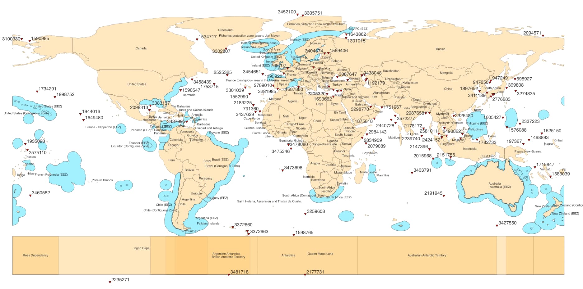
At the end, I want something to identify if an OSM note belongs to a place (on land and on the sea). Antarctica is a special place, where there are no country boundaries, but country claims. However, the claims are defined from 60th parallel to the South Pole (circular sectors shape). Can we divide these claims into two parts: land and sea? in this way, one can eventually get the silhouette of Antarctica merging only land claims.
FWIW, this Overpass query delivers a coastline around Antarctica, including some fictional line along the south pole. I suggest to use Export instead of Run because it might crash your browser due to the data size.
I have made an edit to the Wiki in Difference between revisions of "Coastline" - OpenStreetMap Wiki since it was mentioned that the Wiki doesn’t say clearly enough that large relations like this should not be created. Other edits might be necessary but the Coastline page seemed a good first step.
.svg)