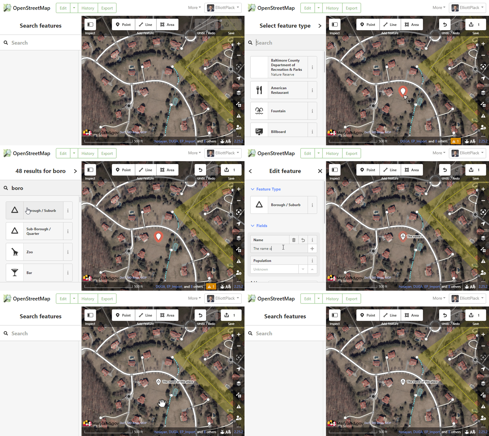
@Charlessapp, the walkthrough @ElliottPlack points you to is excellent.
There are some issues which are potentially confusing to iron out so you fully understand them, especially true in the United States, where the common US English usage of the word “suburb” conflicts somewhat with how OSM uses place=suburb.
I speak US English, and the word “suburb” to me usually means a smaller (incorporated) city near or bordering an edge of a much larger “major” city. In OSM, these (US English) “suburbs” shouldn’t be tagged place=suburb, they should be tagged place=city (or place=town if they are under 50,000 population). And in OSM, the tag place=suburb should only be used for specific areas within a larger city, not a separate city distinct from it. Same for place=neighbourhood and place=quarter: these are used for areas within a larger conurbation.
Both our Key:place - OpenStreetMap Wiki and United States/Tags - OpenStreetMap Wiki can help guide you, where, if you are in the US, the latter requires your careful attention.
And if something is a “Census Designated Place” (CDP, as defined by the US Census Bureau), these shouldn’t be tagged with boundary=administrative, they should be tagged with boundary=census (and a place=* node with value town, village or hamlet, for example).
Finally, do be aware that cities, as incorporated municipalities, always have distinct boundaries, and so should be mapped as a (multi)polygon. “Suburbs” or “districts” as you call them, likely are not that, and so are better mapped as a node in many circumstances, although if there really are hard-and-fast boundaries of a “district,” it is OK to map them as a polygon: just make sure you carefully hew to the tagging of place=* as carefully as those two wikis document you should.
Thanks for “better mapping” in OSM!
