History of proposals to fix highway=path ambiguity – and a wayforward?

I would agree, except that it’ll still be challenging to educate people about the nature of this tag. As I understand it, the intended scope of highway=motorcycleway is something akin to a cycleway but for motorcycles rather than bicycles. Not exactly a road for motorcycles.

Maybe some unintuitiveness or ambiguity is OK. We already cope with any confusion between service=emergency_access (such as a fire lane) and service=driveway access=no emergency=designated (the driveway to a hospital emergency ward). We already cope with any confusion between highway=service bus=designated (an aisle within a bus station) and highway=busway (a BRT lane).

But I pity the community members who thanklessly translate our editor presets and documentation. It’s hard enough to align concepts across languages without additionally creating a special OSM jargon to translate from.

For my part, when I translate iD to Vietnamese, I have to contend with the fact that everything in that language is a “road”. A motorway is literally a “high-speed road”, a cycleway is a “bicycle road”, and a footway is a “walking road”. A path is literally a “worn road”, as in a road made by wearing down the ground. The highway=* key actually makes a lot of sense in this language! But I have no idea how I’ll accurately translate “motorcycleway” for mappers in one of the countries that is supposed to be a beneficiary of highway=motorcycleway. How do I communicate the difference between a “road” and a “road”?

Yes, I agree that “route” is the usual term in plain English for any defined trajectory that may or may not be guided by something obvious on the ground (e.g., a climbing route). However, it’s a very overloaded word in a technical context. In the case where there is something obvious on the ground, one tends to use the term “route” only for designated routes, which is how we generally use route=* on relations.

For better or worse, there’s already some precedent for the term “link” to represent virtual ways that link together less abstract ways: footway=link, waterway=link, etc. I guess the analogue would be highway=path path=link, which would send us right back to the starting point, since we don’t actually want unaware data consumers to conflate them with real paths.

Calling it an area makes a lot of sense. And since routers have so much trouble routing through areas instead of around them, we tend to map the likely trajectories through them. It’s a highway=footway through a highway=pedestrian area, but of course it would need to be something else through one of these pathless areas.

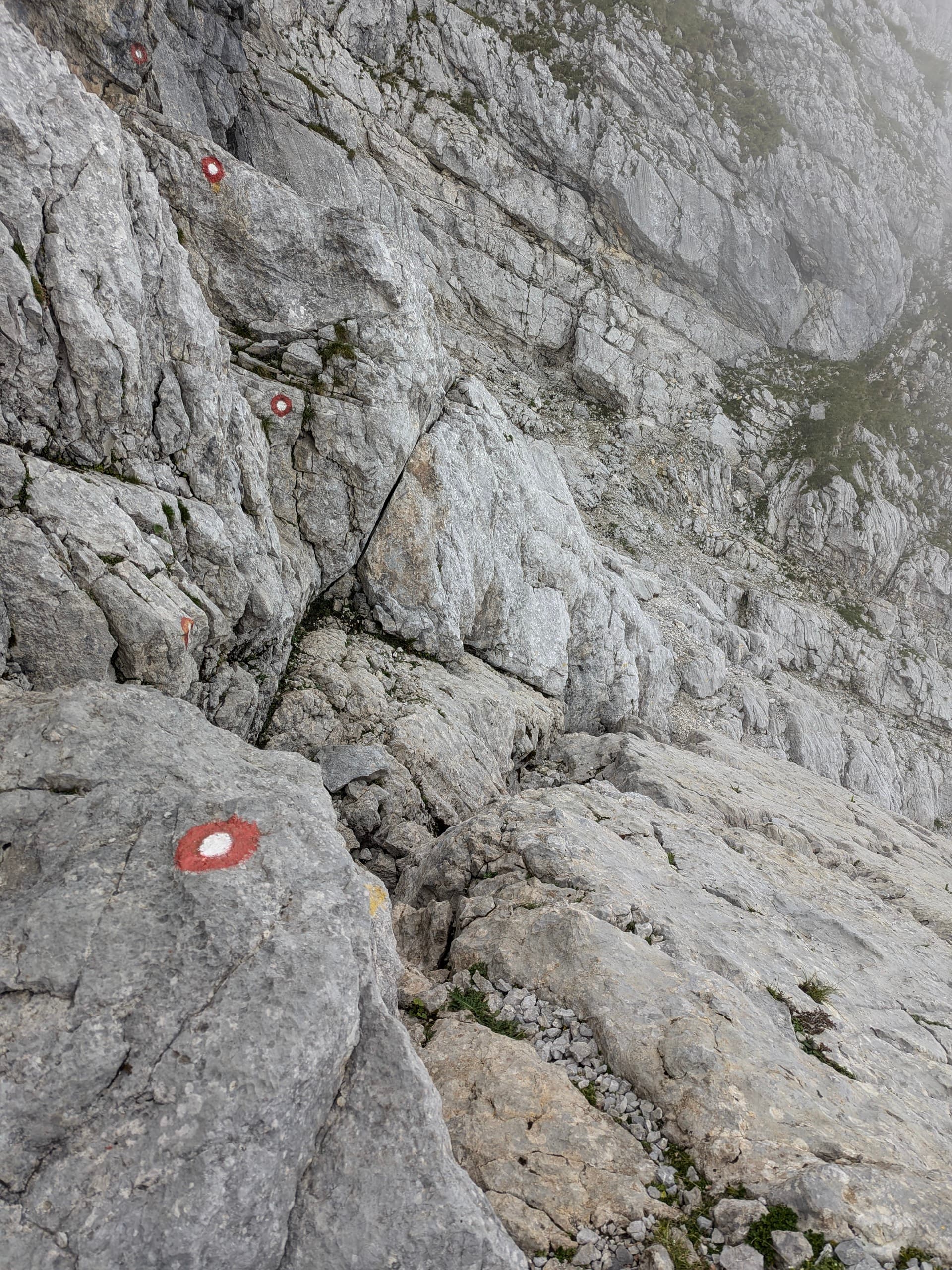
A few more tags will make it that much harder to fit the planet on a floppy disk. :wink: I agree with this perspective when it comes to access tags and other discrete tags, though apparently others don’t. But I can’t imagine having to pause and estimate the width of every path I take. Jotting down all those details, tape measure in hand, would take all the fun out of going on a hike. Maybe using the metric system gives you all better short-term memory? I should try that sometime.

3 Likes

Yes, but we don’t have to stick to “route”. There are alternatives such as “routable”, “course”, or even “passage”.

spending extra minute or two or three on every single way to express “exactly like other paths (in this area)” adds up quickly - especially when you map this changes of surface/smoothness/width/etc that often vary for little to no change in effects

even just mapping surface with specially built tool for that (StreetComplete in my case) is quite time-consuming

mapping all this details for all the ways would result in me being stuck in some forests for months

just mapping this section of steps like Way: 580579308 | OpenStreetMap took enough time that I mapped only some of them (BTW, it was six years ago? I need to visit this place again before I am old :slight_smile: )

4 Likes

Note that I am not a native speaker: I read the term as a noun two or so years ago in a post of a South Africa mountain rescue team member to some OSM ML, and more recently in a statement from a Welsh mountain rescue team member in the press.

Probably, when they said “a scramble” they did not say anything about the way, rather about the mode the way was to be traversed.

So yes, when I coined highway=scramble I conciously did so as about the mode of traversal, a bit like on-foot, on-horse, on-bicycle. I understand foot as on-two-legs and scramble as on-four-legs :wink:

1 Like

This topic is currently being dealt with here:

1 Like

But remember that once, elephants crossed the Alps! :grinning:

1 Like

Or another huge advantage would be people using their own eyes & seeing that the “path” on their device goes up (or down!) a vertical cliff; or the “road” goes through a 6’x6’ tunnel, while the truck they’re driving is 8’ wide & 10’ tall; & thinking “Hmm, maybe I should ignore the map & not try to go there?” :thinking: :roll_eyes: :face_with_raised_eyebrow:

1 Like

Quoting you quoting yourself in a different thread!

How about re-define access to clearly state that it is for legal access only - this path / road / entrance etc is for public use / nobody is allowed to use it / customers of this business only etc.

Then create a new tag usablility= to say that this way can be used by foot / cycle / horse / car etc? :thinking:

Edit: Thought after posting about checking TI! Not defined, but some usage, mainly skate & bike related, & seemingly very geographic. Search results | OpenStreetMap Taginfo

From the relevant wiki page:

Access tags pre-eminently describe legal permissions/restrictions and should follow ground truth, such as signage combined with legal regulation, rather than guesswork. They do not describe common or typical use, even if the signage is generally ignored.

Like I guess “pre-eminently” could be changed to “only” but I do not see much difference in practice.

Sure, assuming the cliff is mapped. And anyway, even when using their eyes, it would be nice if the map warned them so that they would not have to retrace their steps and so on.

However, I am in the camp that people should use their brains when using a map. Still no need to burden people too much - we are all lazy and we all make mistakes, that is human nature.

3 Likes

It could.

The tag itself could even be changed to legal_access: for further emphasis.

No worries, I think your coinage was intuitive enough, even if it makes me crave a full English with scrambled eggs. :yum: Verbing weirds language and so does nouning, but we do it all the time.

2 Likes

Once again circling back to the topic: I think it’s fair to conclude that the “highway=path ambiguity” cannot be fixed any time soon, or at all.

1 Like

True, but that doesn’t mean it’s not worth trying :grinning:

I wouldn’t be so despondent. Quite on the contrary, I think these discussions have had many interesting points raised, and I’ve learned a lot myself! Contrary views and different outlooks are only to be expected, and they provide a chance to learn something new.

I think it would be foolhardy and extremely optimistic to assume that the problem with paths could be solved very quickly. Obviously it’ll take time. At the same time, this doesn’t mean that the issue is completely forlorn and couldn’t be resolved at all.

I think that e.g. the suggestion made by @Nadjita earlier in the thread about creating a task force to at least document the different types of pathways in existence is a really good (and neutral) way forward! As @Nadjita notes, such a survey has already been opened here on the Community Forum by @Hungerburg, to whom (among other people, like @supsup) we owe a huge thanks for initiating these threads.

Maybe we should create a wiki page for the discussions about documenting the types of paths in existence?

6 Likes

I just meant, if the ambiguity in itself is seen as the problem that needs to be fixed, forget it. Not gonna happen. Ambiguity is there, you can’t get rid of it, so it has to be handled, not fixed.

So, we’re trying to address issues and resolve problems caused by the ambiguity. To fix a problem, participants (I almost said “stakeholders”) first need to agree on what exactly the problem is, and how serious it is in its consequences. And that agreement is sort of lacking, IMO.
I could be wrong of course, maybe I’m the only one not seeing identified and clearly specified problems shared by all.

1 Like

Yes, something like “there is a bit of a scramble at the top” is something that someone might say

4 Likes

I think that there’s a consesus that the current use of the path key is suboptimal, and that one reason for this is the exceptionally wide set of circumstances it is being applied to.

A fairly good next step could indeed to try to e.g. collate the discussions so far (perhaps to a wiki page), and see just what kinds of ways the path key is currently being applied to, so that we can agree what the problem exactly is.

OK, fair point! So, let’s start to ‘handle’ the matter rather than start to find ways of ‘fixing’ it. Though I’m not exactly sure what the specific semantical difference is.

Of course it’s always possible to just give up.

2 Likes

I think a fairly good job is being done there. It charts the ambiguity: the range of real world features mapped as highway=path. It may provide clues, but it does not identify the problems. It says “look at all the things called a path!”, but it doesn’t point out why, where, when and for who that presents problems.

In discussions you may then find that everybody has their own idea of what “the problem” is, and starts firing solutions, which do not solve what the others think is “the” problem.

1 Like

highway=shared_use ? see Shared-use path - Wikipedia

1 Like

The problem is this, among other things:

Another problem is mapping a survivable route up this:

That is probably because there is no THE problem but a set of problems we’re trying to solve piece by piece.

4 Likes