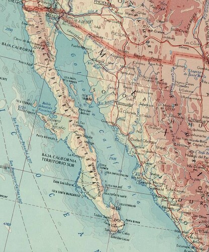
This point-placed label may look fine by the standard of avoiding overlapping text, but the Gulf of California is actually a great example of why some mappers probably think it’s beneficial to map some seas as areas. Conventionally, whenever a body of water is long and narrow, a map strings out the label along its “centerline”, spacing out the letters to cover the entire length:
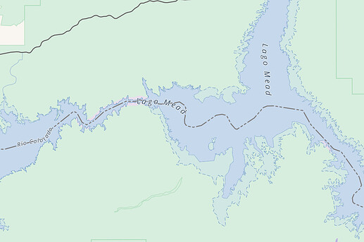
OSM Americana does render line-placed labels for some bodies of water, especially reservoirs like Lake Mead:
These inland bodies of water are mapped only as areas, which are apparently turned into lines when generating the vector tiles. I’d imagine that’s a pretty expensive process compared to piggybacking off a linear waterway feature, such as the Colorado River. A mapmaker could choose to supplement OSM data with a hard-coded line feature, seeing as the Gulf of California doesn’t move very often. I’m surprised Natural Earth doesn’t include sea centerlines in one of its layers.
I agree that it would be overkill to map the boundary of a sea just to get a line-placed label, but maybe a waterway of some sort should be an option for some seas.

