I don’t think that we should get into the realm of “map every literal obstacle” - but I can think of quite a few times where there is literally one or two short sections that place more physical or psychological demands (or have safety issues) on a trail. Having it be rendered similar to the Hawaii map seems like it’d be more useful than just bumping up the technique difficulty for the entire way, or trying to break it into micro-segments. That is a rendering issue, but also one of data structure.
There would probably some caveats like obstacle=mantle isn’t necessary on trails that are already T3 or above etc.
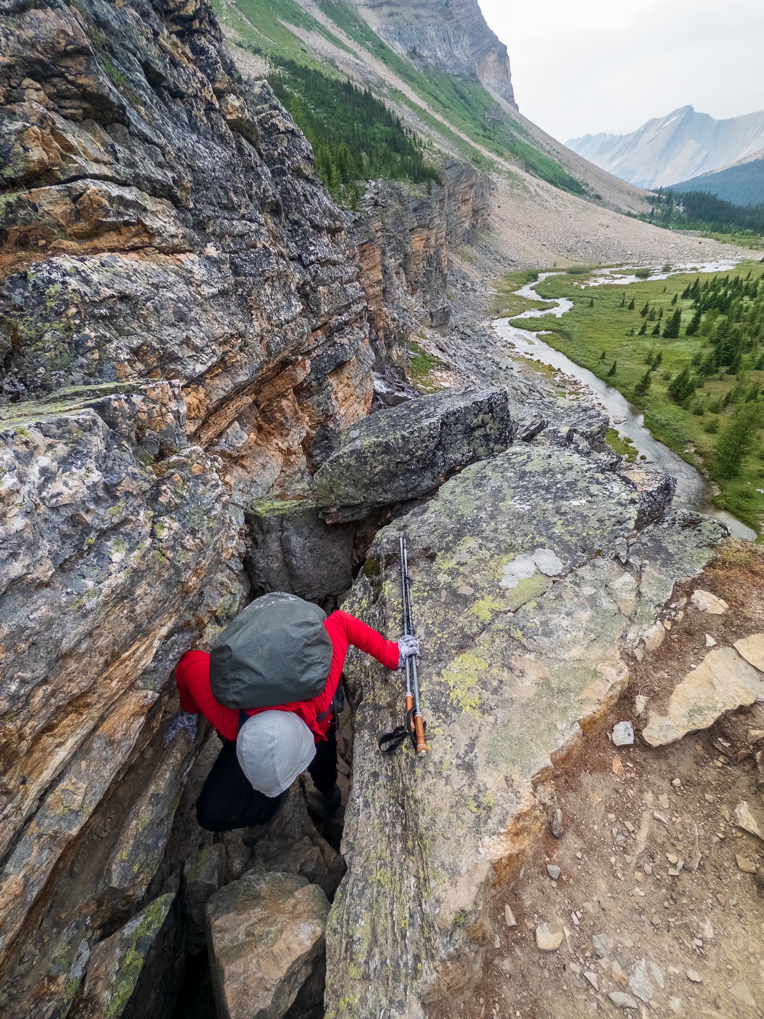
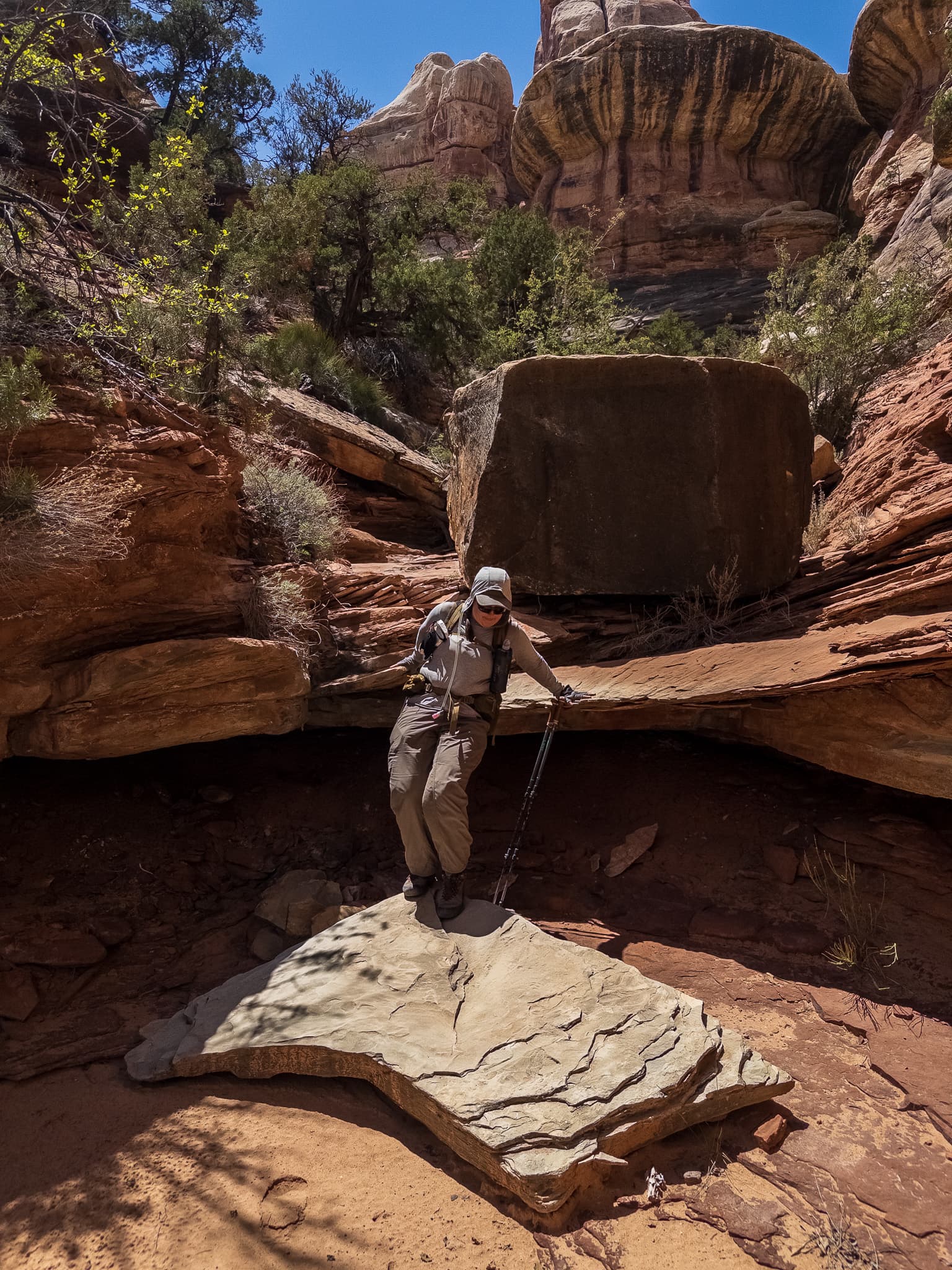
The following are all technically T4 moments that exist once in long stretches (1-4 miles) of T2 terrain. Mostly XC because that’s what I’m more interested in personally, but some of these are along informal=yes ways in OSM. Personally having a 0.3m way that is T4 seems awkward, but it’s also not quite fair to put the entire route at T4 (looking at the example photo on the OSM wiki). I can pull up more, but I think these get the general idea across.


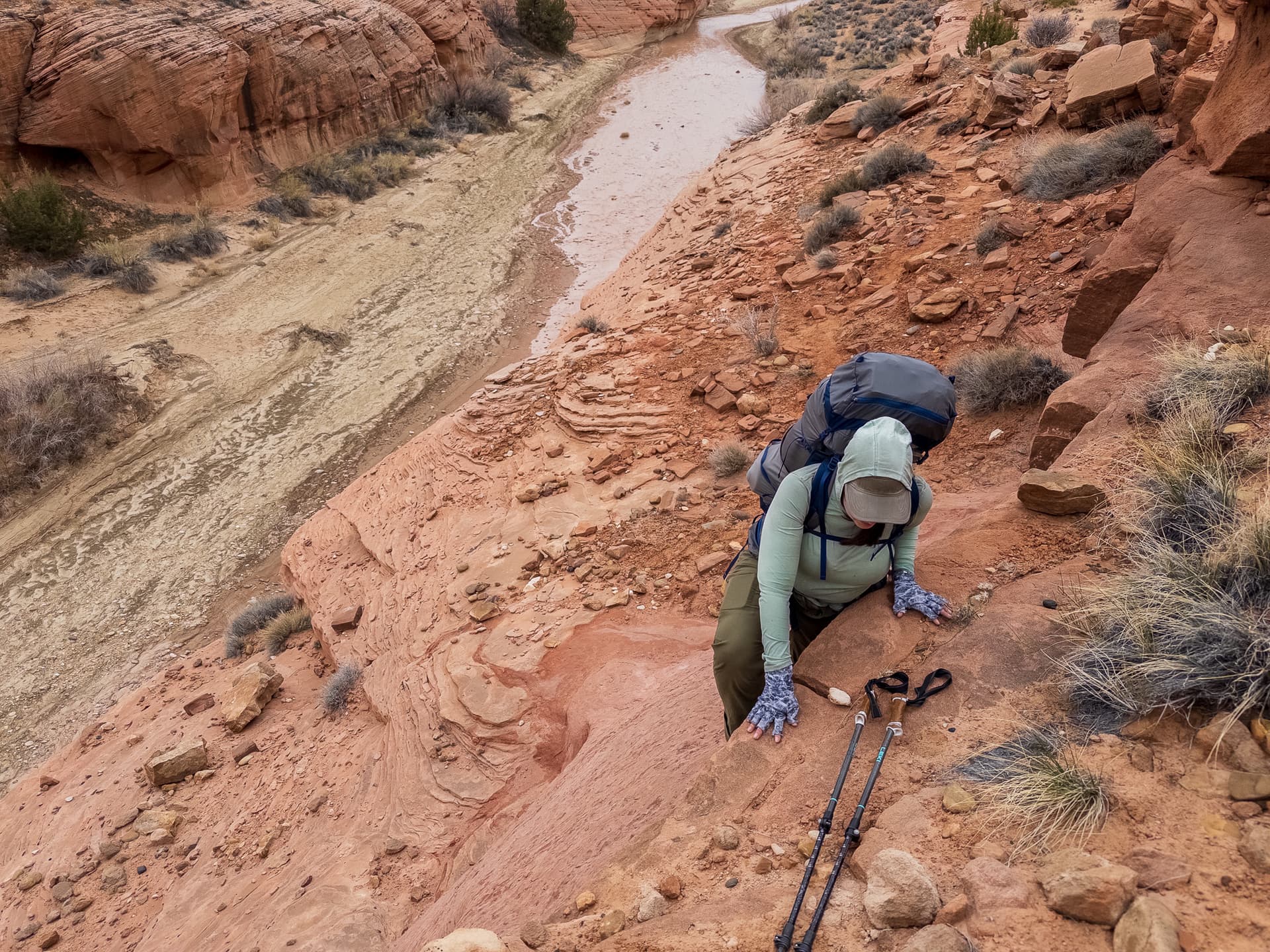
Likewise with the photo featured before, from the north you can go by two lakes on T1-T2 terrain, and from the south you can walk up a nice valley to a waterfall on T1 terrain. Marking that entire way as T4 isn’t accurate, nor is calling it T2 because 99.99% of it is up to that scale either.