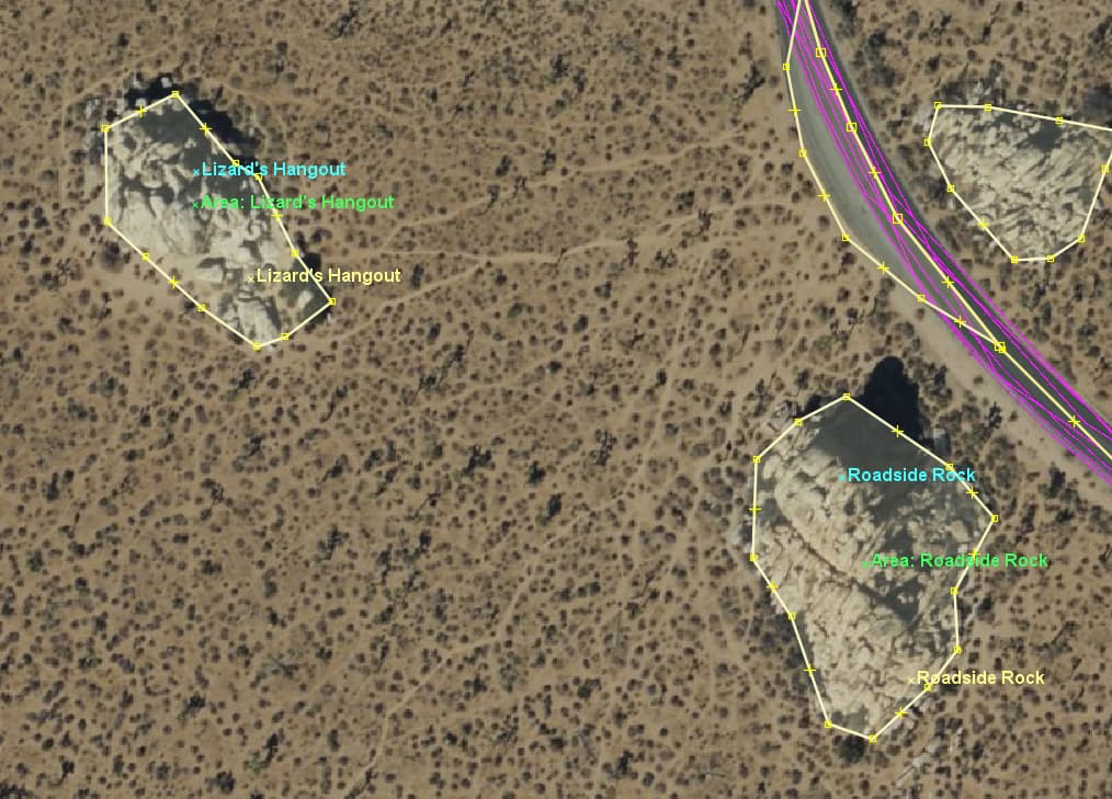
I have several GPX files that contain many of the same locations, but inaccurately. I want to show all the GPX files on top of each other in different colors, which I have done already in JOSM:
Then I’d like to go through them and find the correct location, put it on OSM, and then delete those points from the GPX files to mark that they are “done”. In JOSM I can’t seem to select the individual markers, though? Or delete them? Is there any way to do this?
If you keep them on a separate layer, you’ll find then easily.
I usually add a tag like fixme=no upload or something, to be sure to check each one of them before uploading, if I decide to merge the layers. And they get a special color.
Also, is there a way to say “this feature is around here, but exact location is uncertain”? Because I have four different sources of points and they sometimes agree pretty precisely but other times are all very different. I think having the general location in OSM of the named features is better than not having anything at all, but I don’t want to give people the impression that they can trust it to be exact, either. “Go to this general area, but then you’ll have to use your eyes to actually find the feature.” (And then they could update the exact location on OSM when they pinpoint it exactly.)