The City of Cornwall, Ontario, is currently represented by a place=city boundary relation that has admin_centre and label members that are two distinct place=city nodes. The admin_centre member downtown seems to represent the populated place, while the label member up by Highway 401 seems to represent the overall administrative area. The latter is named “Cornwall (city)”, which appears at zoom level 6 in OSM Carto and zoom level 10 in OSM Canadiana.

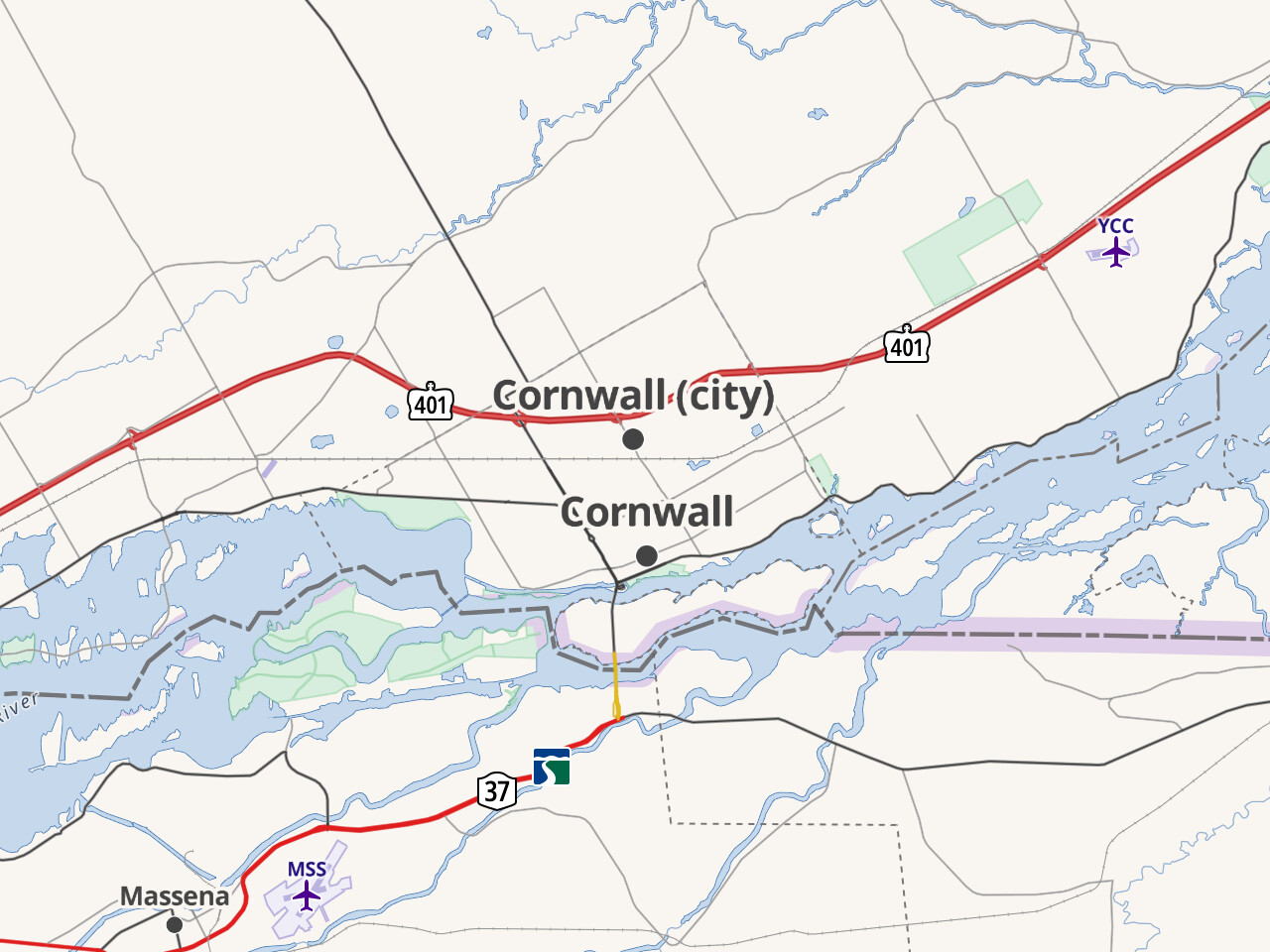
“Cornwall (city)” was tagged place=county until a few days ago, so I suspect its location isn’t particularly meaningful. The name should probably be simplified to remove the disambiguating suffix, but I also wonder if this node is even necessary. For one thing, it doesn’t sound like there’s a City of Cornwall that is the capital city of the City of Cornwall. If both the boundary and the downtown node represent the same administrative unit, then the downtown node should have a role of label, not admin_centre. And in that case, the existing label member doesn’t have any reason for existing.
But before I jump to any conclusions, is there any possibility that the boundary represents something other than the City of Cornwall that still needs its own label node, apart from the one downtown?