area:highway=*→ for features where traffic has a clear direction where the semantics and routing graph are best represented by ahighway=*way. Always used in combination with the corresponding way.highway=*+area=yes→ for areas where traffic can go in any direction in the general area (e.g. pedestrian squares or large service areas for vehicles)
highway=* + area=yes also implies area:highway=*
That applies to all highway=* types, there’s no limit to the types where it can be applied or special cases with different meanings. Of course, for a lot of highway types the second case just doesn’t ever happen. You won’t ever see a (correct) highway=motorway + area=yes for example.
area:highway=* is mostly just used by renderers at the moment, but there’s no inherent reason why it can’t be used for other purposes. It’s just not really used for routing because only using the associated linear highway=* abstractions is much, much easier and there isn’t a lot of additional benefit to using the areas as well.
Of course it is. It’s a footway area with the characteristics mentioned above. Not every area that is primarily meant to be used on foot is suddenly a highway=pedestrian simply because it’s an area.
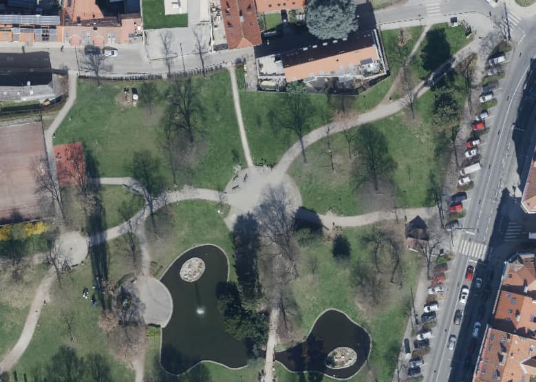
The larger paved areas in this park are highway=footway + area=yes for example. (The paths are linear highway=footway ways + area:highway)