A quick look (OSMCha) suggests that yesterday in 5 large changesets you deleted (and to an extent transferred) more than 1700 items in two entire countries (alongside other edits that day).
Whether those edits are mechanical or not, with such numbers and scope a prior discussion is in place before making such mass edits.
Especially when the strategy seems to be to use exotic “solutions” like to nationwide replace one member MPs for multiple features on the same nodes that are consistent with suggested usage in the wiki with multiple linear geometries on exactly the same nodes, which has its own disadvantages.
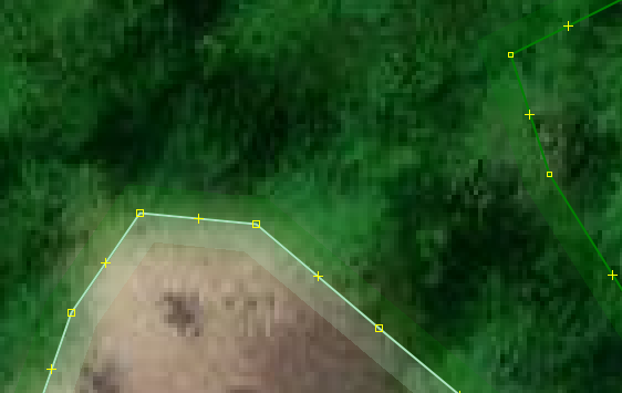
That camp site deletion was a result of a manual foul up which could have been part of any changeset, as demonstrated by the previous person who deleted it.
What accidental removal do you refer to?
This edit in 2021 (v8) was not a deletion of the tag but an intended transfer from a way to a relation (see changeset comment)
The deletion of the tag from the relation in v9 was no accidental removal either, but a replacement of tourism=campsite with leisure=pitch, that has nothing to do with this being a relation instead of a way
Giving each feature it’s own element (instead of multiple features on one element), such as a separate MP’s for landuse, campsite and islet in v10 prevents conflicting and changing tagging, such as the name between v8 and v9.
I have no intention to delete anything.
That is good to hear, but still I would like to hear how you can show that no other data was lost in these huge changesets you made yesterday.
The odds that I just stumbled upon this one case (was not looking for it) while this would have in fact been the only deleted item in your mass edits from yesterday seem fairly small.
And this is not a burden that you can lay on your fellow mappers while you go along making other edits.
Also I would like to ask you to restore the 1 member MP’s that you have yesterday nationwide removed and have replaced with multiple overlapping identical linear elements.
If you want to deprecate such use for MP’s and replace them whit overlapping linear features, than a proposal would be in place.